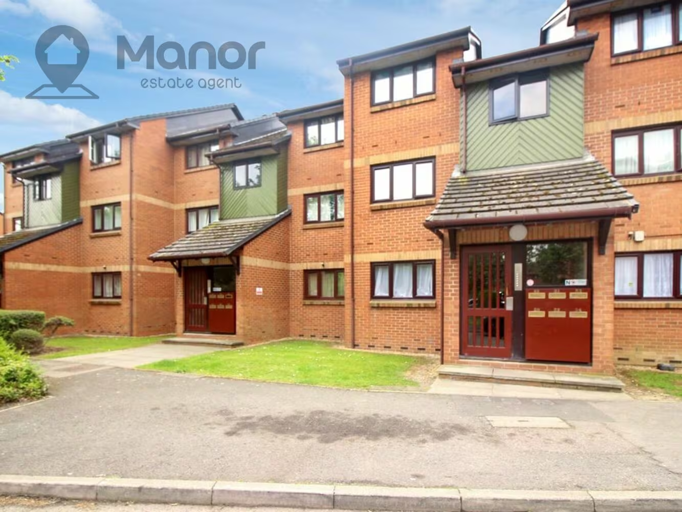
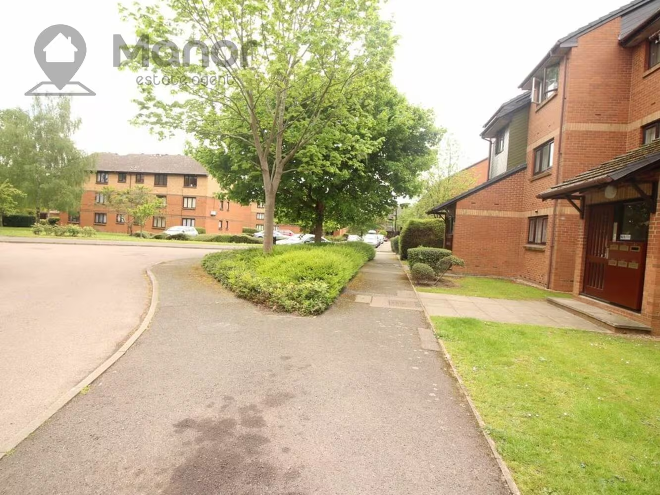
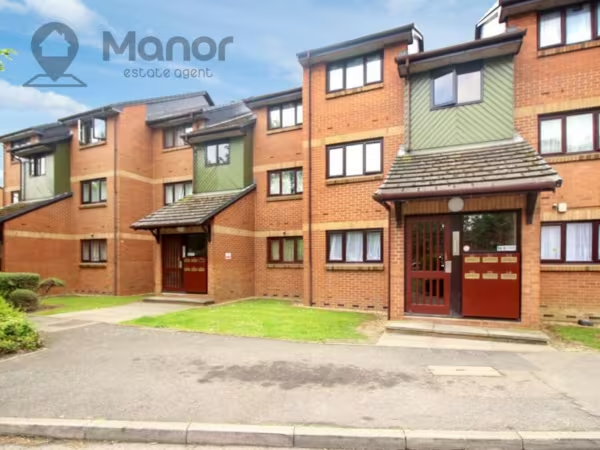


Maltby Drive, Enfield, EN1 4EJ
£1,225 pcm
1 x
1 x
1 x
Department:
Lettings
Reference:
MLW-27334062
Postcode:
EN1 4EJ
Type:
Flat
Availability:
Let
Receptions:
1
Furnished:
Furnished
Deposit:
1,100
Property features
- Ground Floor Flat
- Furnished
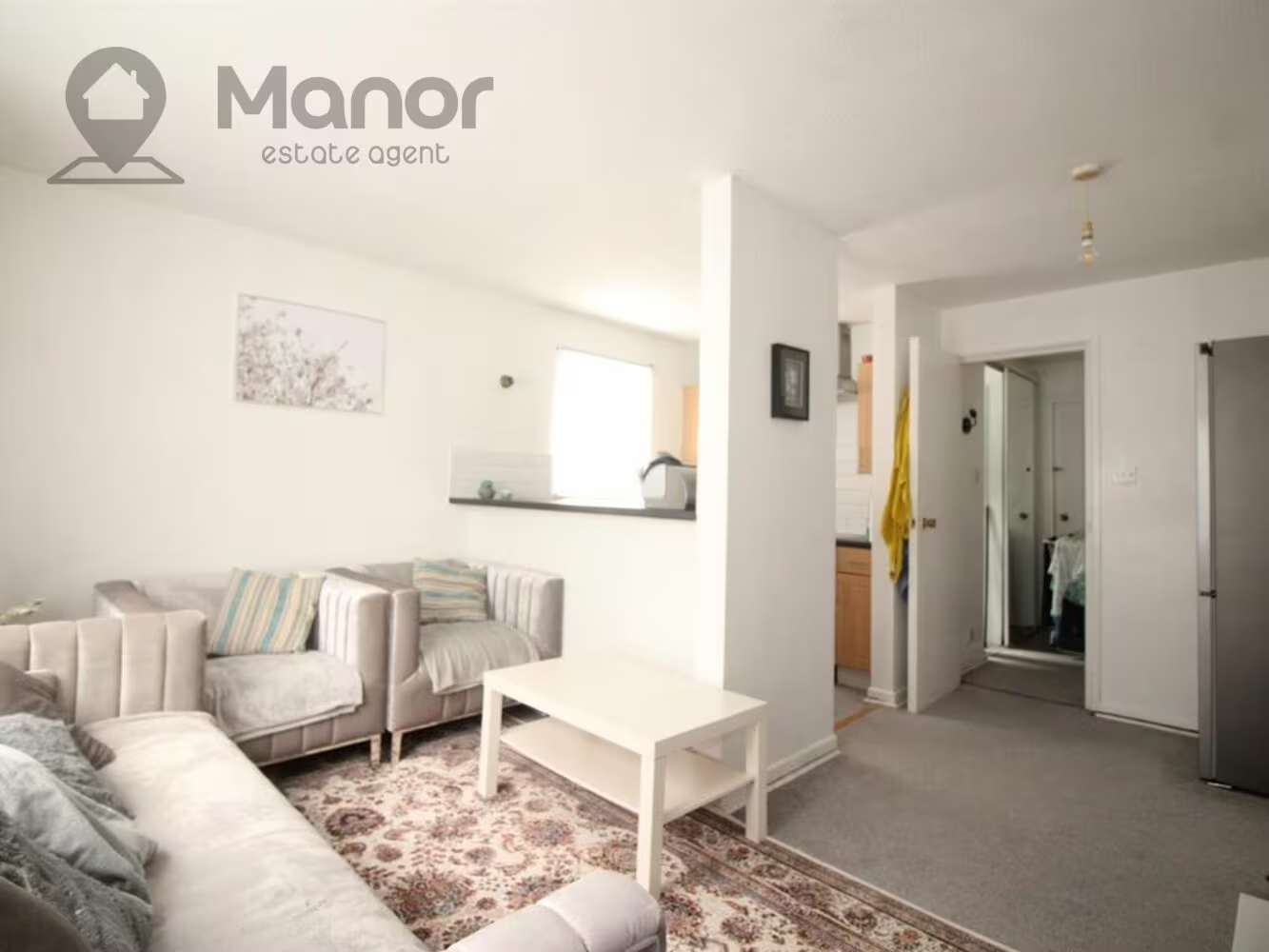
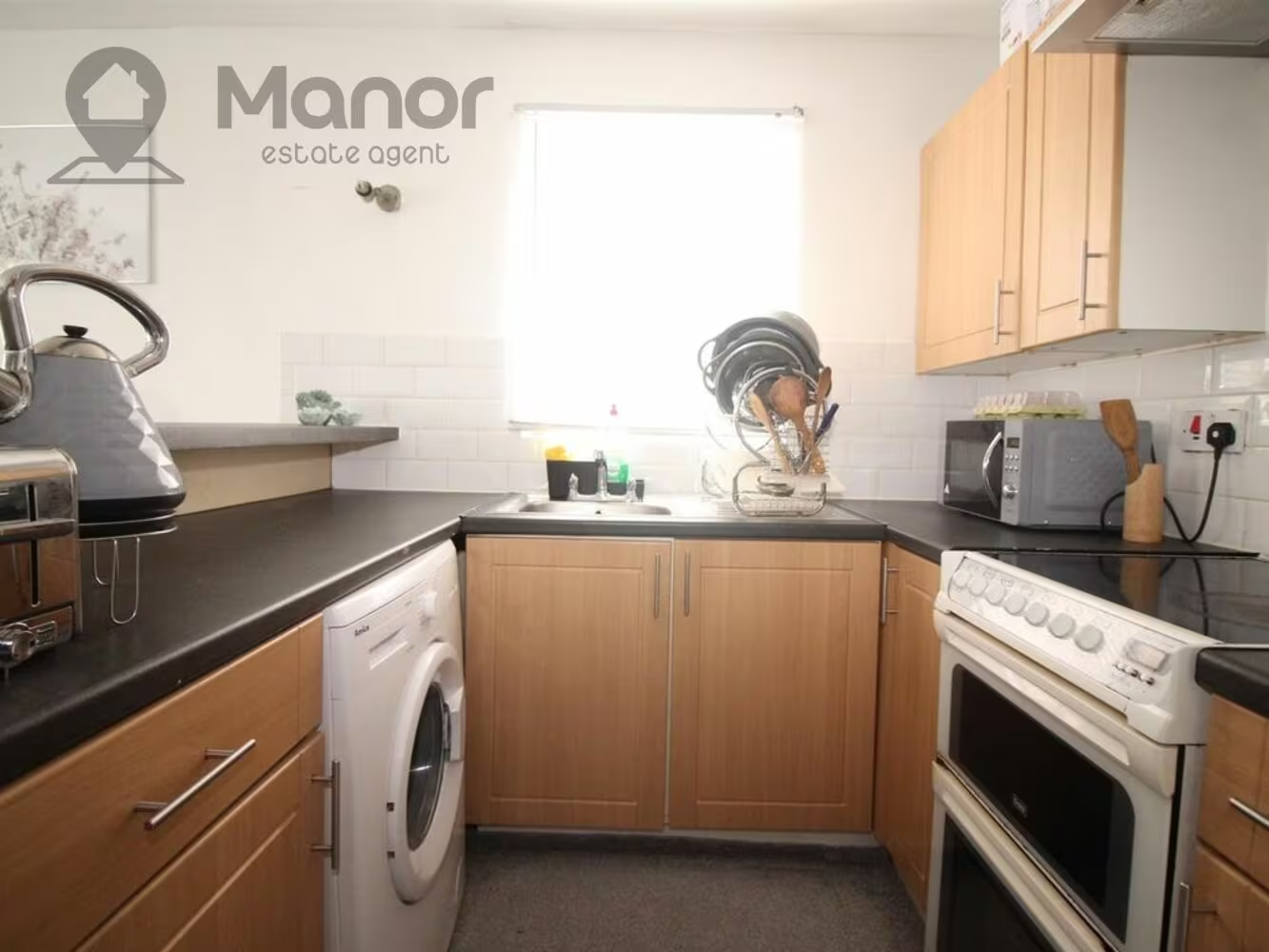
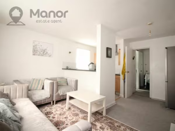
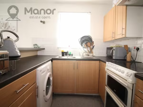
- Open plan Kitchen
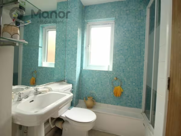
- One Bathroom
- Gas Central Heating
- Double Glazed
- Close to Public Transport Links and Local Amenities
Summary
Manor Estate Agent are delighted to offer this One Bedroom Flat on Ground Floor to let in Maltby Drive, Enfield, EN1 4EJ.Details
Manor Estate Agent are delighted to offer this One Bedroom Flat on Ground Floor to let in Maltby Drive, Enfield, EN1 4EJ.
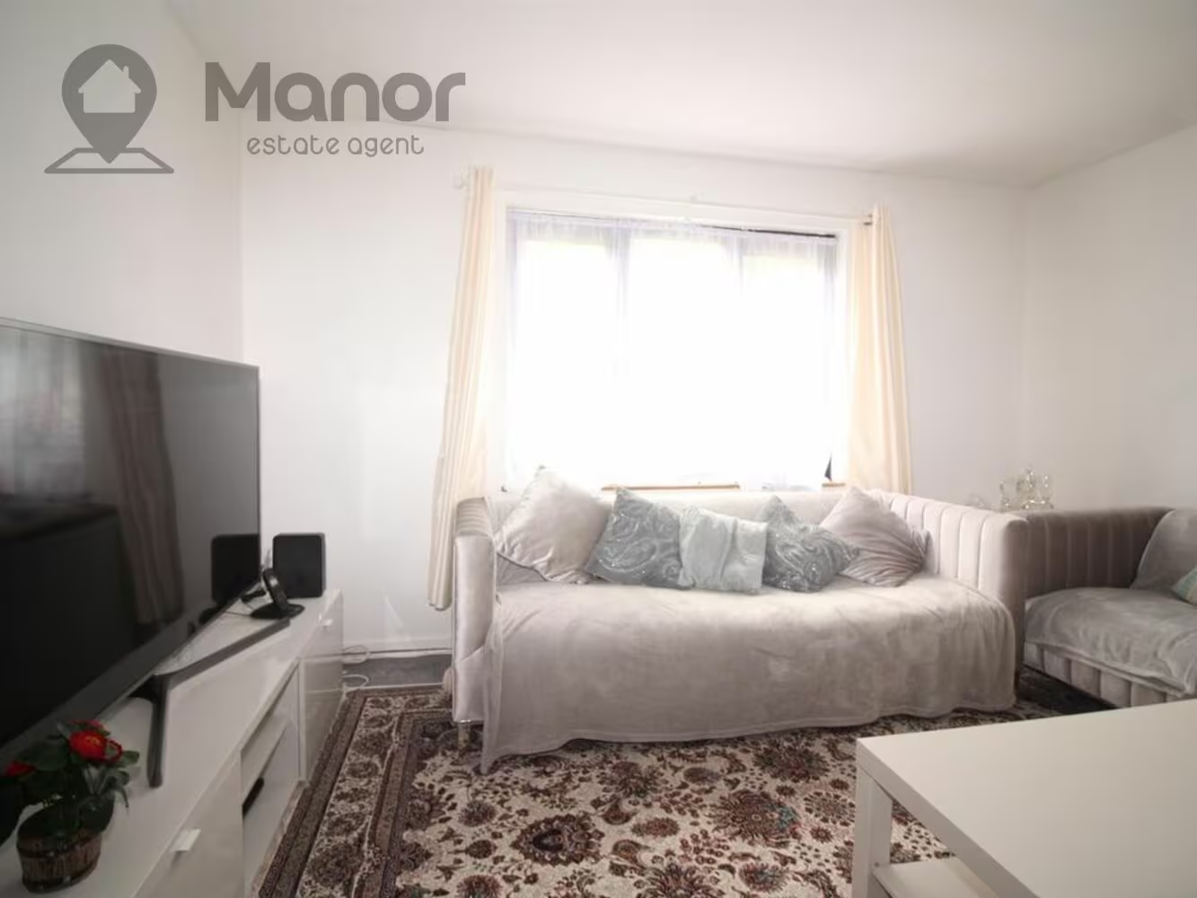
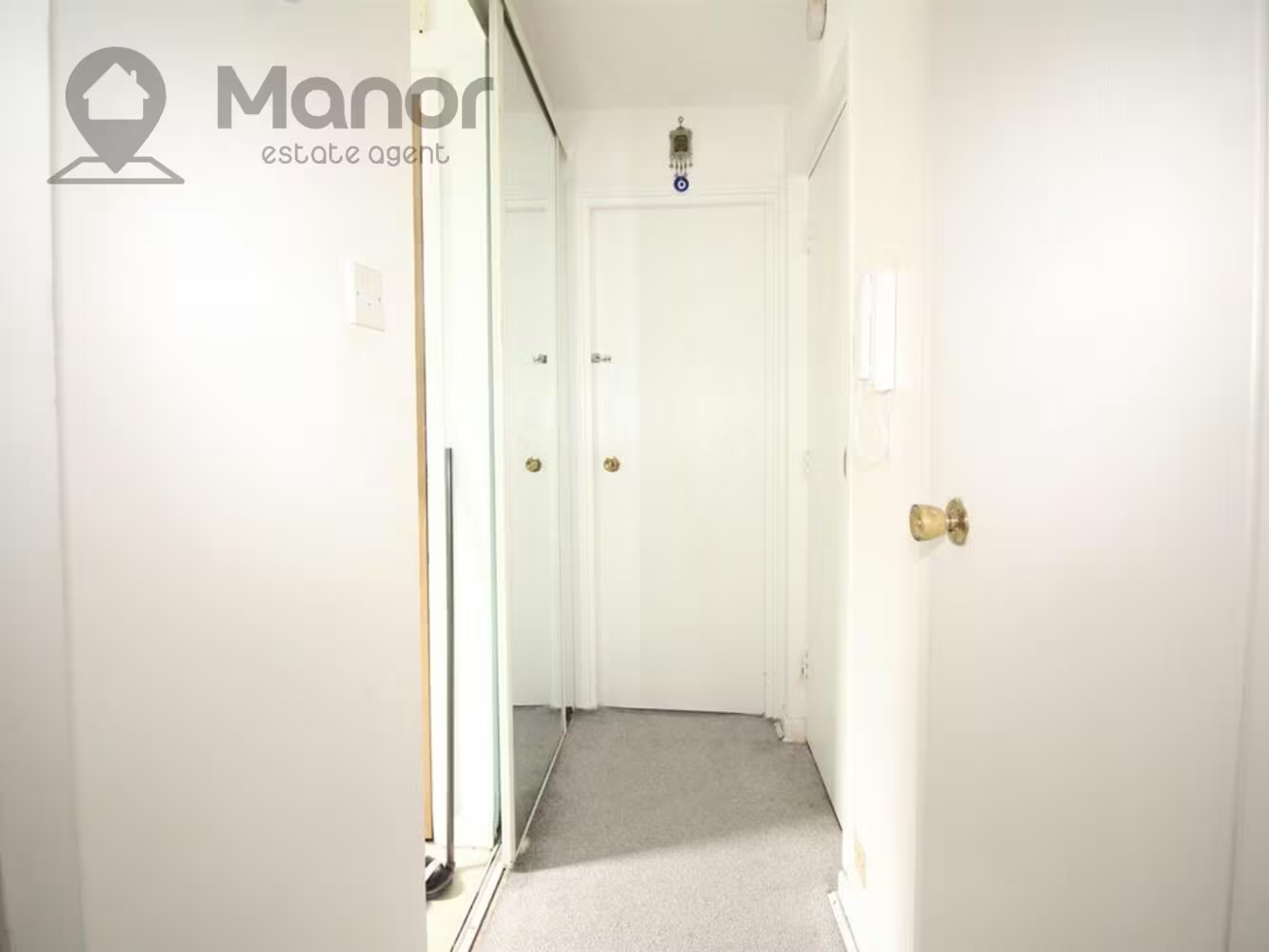
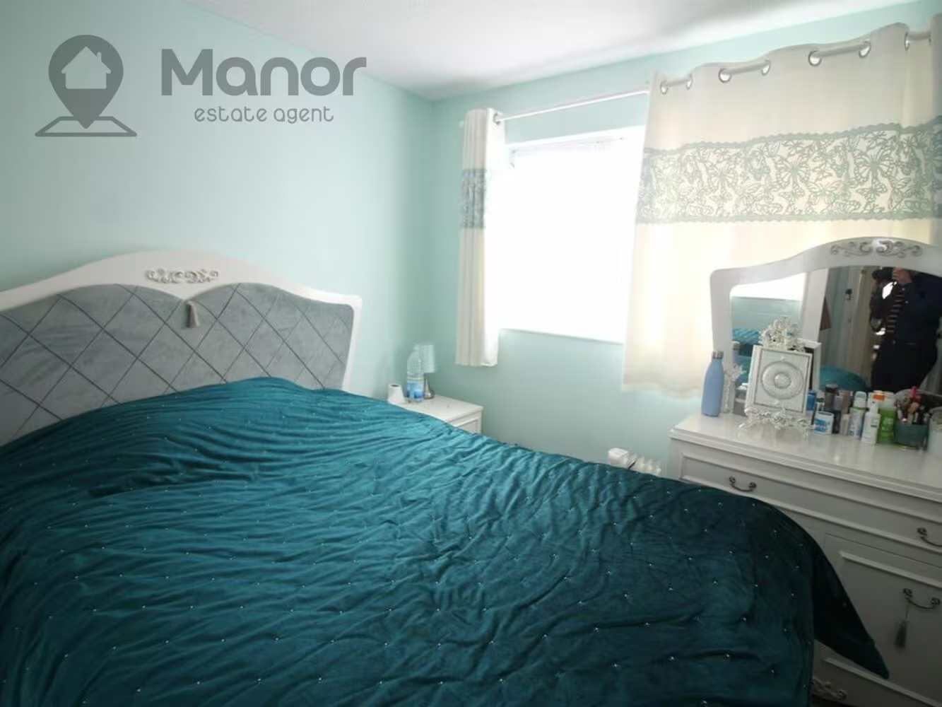
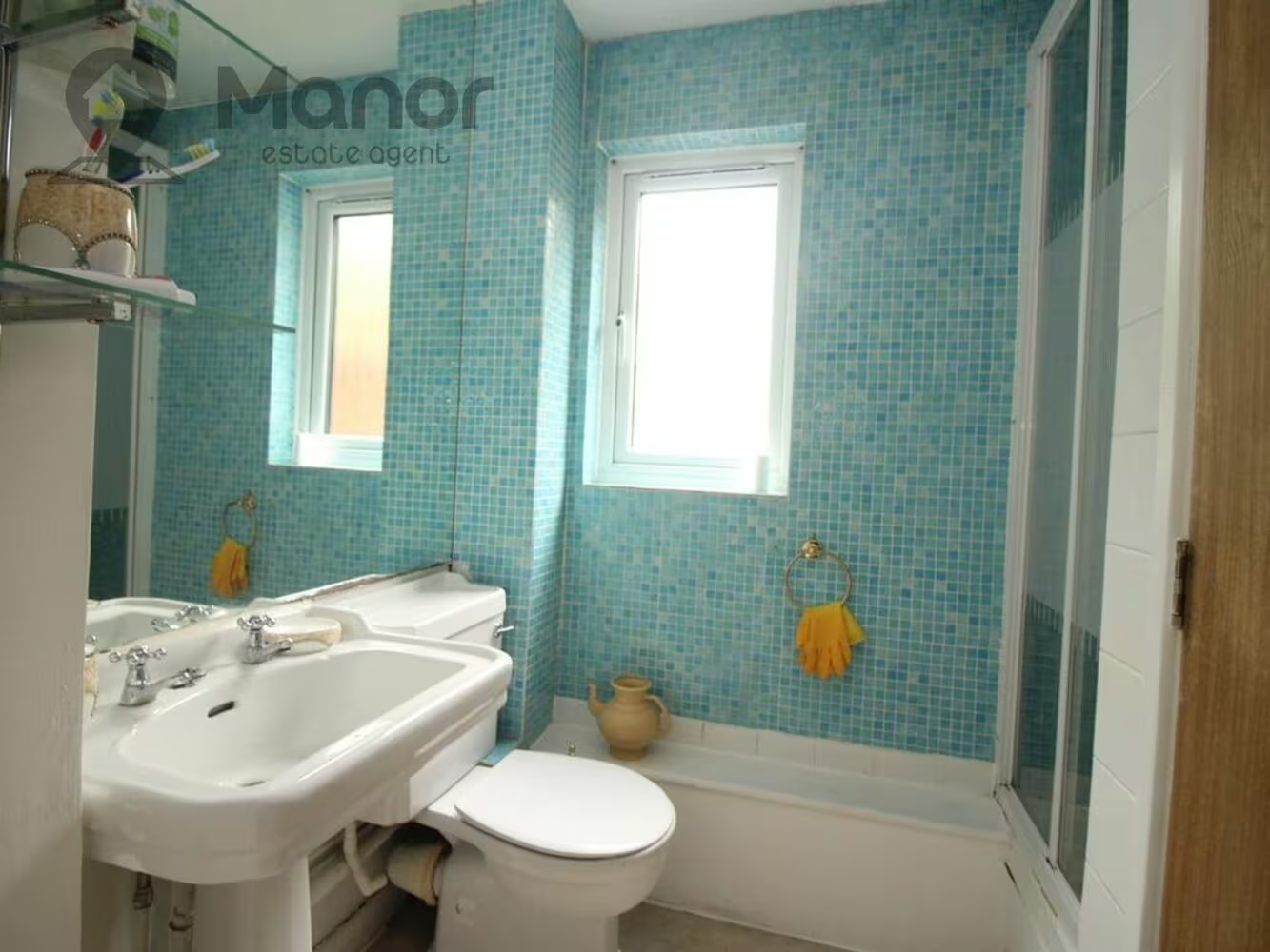
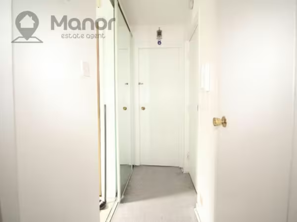
This Ground Floor furnished flat offers one double bedroom, open plan kitchen and a separate bathroom.
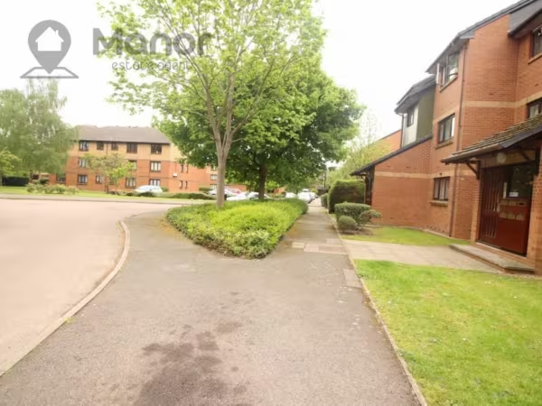
The property is located 17 minutes walk from Turkey Street Station. You can also expect excellent links to major roads leading in and out of London and all local amenities on your doorstep.
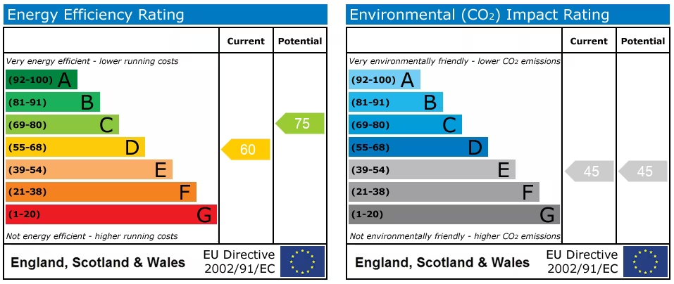
The flat has a current EPC rating of D and has a council tax band of B.
Deposit: £1150
Length of Tenancy: 6 months minimum
For more information or to arrange a viewing please call us.
EPC
Ultrafast / Gigabit Broadband (300+ Mbps)
Strong Indoor & Outdoor 4G / Voice (All Providers)
Based on average Indoor & Outdoor data from the Local Authority
Nearest Local Schools & Transport Links
| School Name | Age | Distance | |
|---|---|---|---|
| Russet House School | 3-11 | 0.3 mi | |
| Durants School | 11-19 | 0.4 mi | |
| Enfield Heights Academy | 4-11 | 0.4 mi | |
| Forty Hill CofE Primary School | 3-11 | 0.4 mi | |
| St Ignatius College | 11-18 | 0.4 mi | |
| Carterhatch Infant School | 2-7 | 0.4 mi | |
| Carterhatch Junior School | 7-11 | 0.4 mi | |
| Worcesters Primary School | 3-11 | 0.4 mi | |
| Eastfield Primary School | 3-11 | 0.6 mi | |
| Suffolks Primary School | 2-11 | 0.6 mi |
| Station Name | Distance | |
|---|---|---|
| Turkey Street Rail Station | 0.5 mi | |
| Enfield Lock Rail Station | 1.1 mi | |
| Southbury Rail Station | 1.3 mi | |
| Brimsdown Rail Station | 1.3 mi | |
| Enfield Town Rail Station | 1.5 mi | |
| Waltham Cross Rail Station | 1.7 mi | |
| Gordon Hill Rail Station | 1.8 mi | |
| Enfield Chase Rail Station | 1.8 mi | |
| Bush Hill Park Rail Station | 1.9 mi | |
| Ponders End Rail Station | 1.9 mi |
| Bus Stop Name | Distance | |
|---|---|---|
| Stop A - Enfield Crematorium | 0.1 mi | |
| Stop D - Enfield Crematorium | 0.1 mi | |
| Stop X - Hoe Lane | 0.2 mi | |
| Stop W - Hoe Lane | 0.2 mi | |
| ->W - Enfield Highway | 0.4 mi | |
| Stop Y - Carterhatch Lane (EN1) | 0.4 mi | |
| Stop V - Carterhatch Lane (EN1) | 0.4 mi | |
| Stop E - Ingersoll Road | 0.4 mi | |
| Stop EN - Durants School | 0.5 mi | |
| Stop C - Turkey Street Station / Great Cambridge Road | 0.5 mi |
| Airport Name | Distance | |
|---|---|---|
| London City Airport | 12.2 mi | |
| London Luton Airport | 20.2 mi | |
| London Stansted Airport | 20.5 mi | |
| London Heathrow Airport | 21.7 mi | |
| Biggin Hill Airport | 23.4 mi | |
| London Southend Airport | 33.3 mi | |
| London Gatwick Airport | 35.6 mi | |
| Cambridge Airport | 38.7 mi | |
| London Oxford Airport | 55.2 mi | |
| Shoreham Brighton City Airport | 58.5 mi |