Keir Hardie Way, Barking, IG11 9NX
£1,550 pcm
2 x
1 x
1 x
Department:
Lettings
Reference:
MLW-77524710
Postcode:
IG11 9NX
Type:
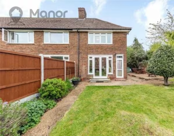
End of Terrace House
Availability:
Let
Receptions:
1
Furnished:
Unfurnished
Deposit:
1,550
Available Date:
2022-02-25
Property features
- 2 Bedrooms
- 1 Bathroom
- 1 Reception Room
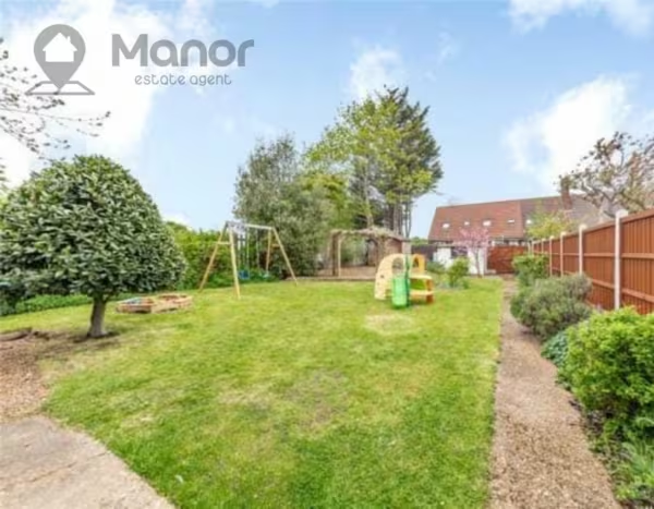
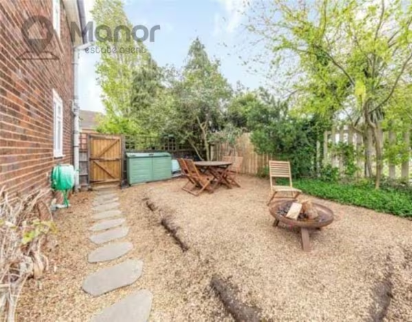
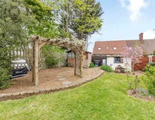
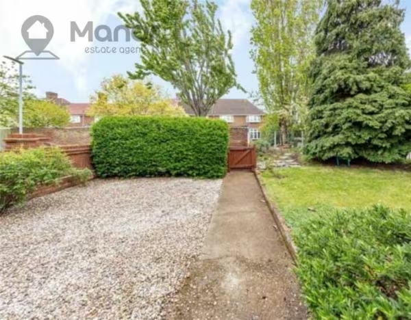
- Large Garden
- Gas Central Heating
- Double Glazed
- Close to Public Transport Links and Local Amenities
Summary
Manor Estate Agent are delighted to offer this Two Bedroom House to Let in Keir Hardie Way, Barking, IG11 9NX.Details
Manor Estate Agent are delighted to offer this Two Bedroom House to Let in Keir Hardie Way, Barking, IG11 9NX.
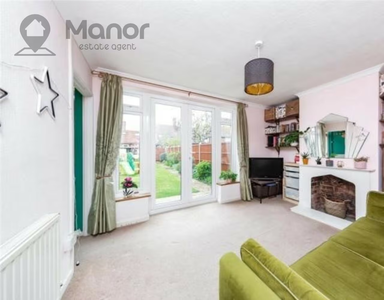
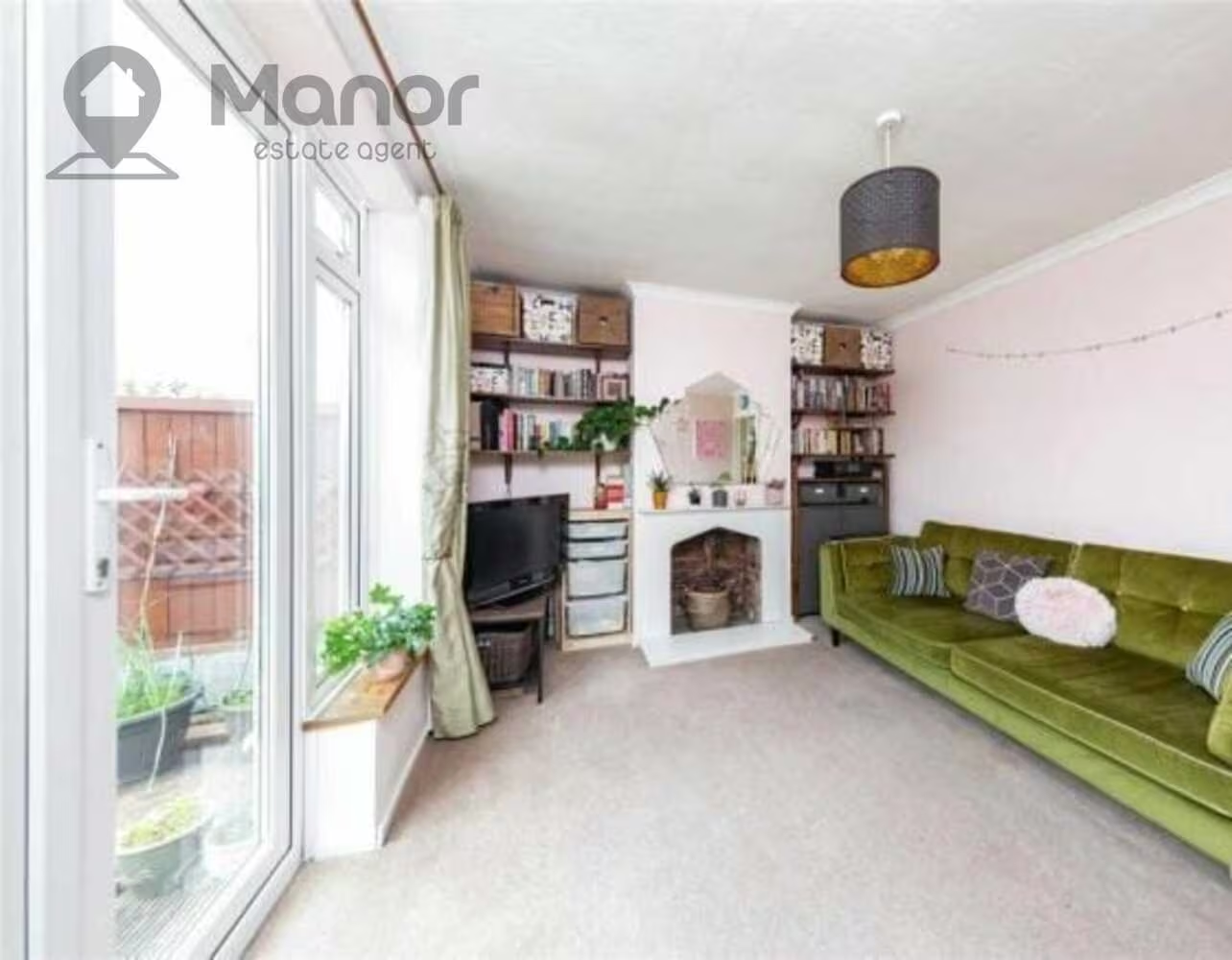
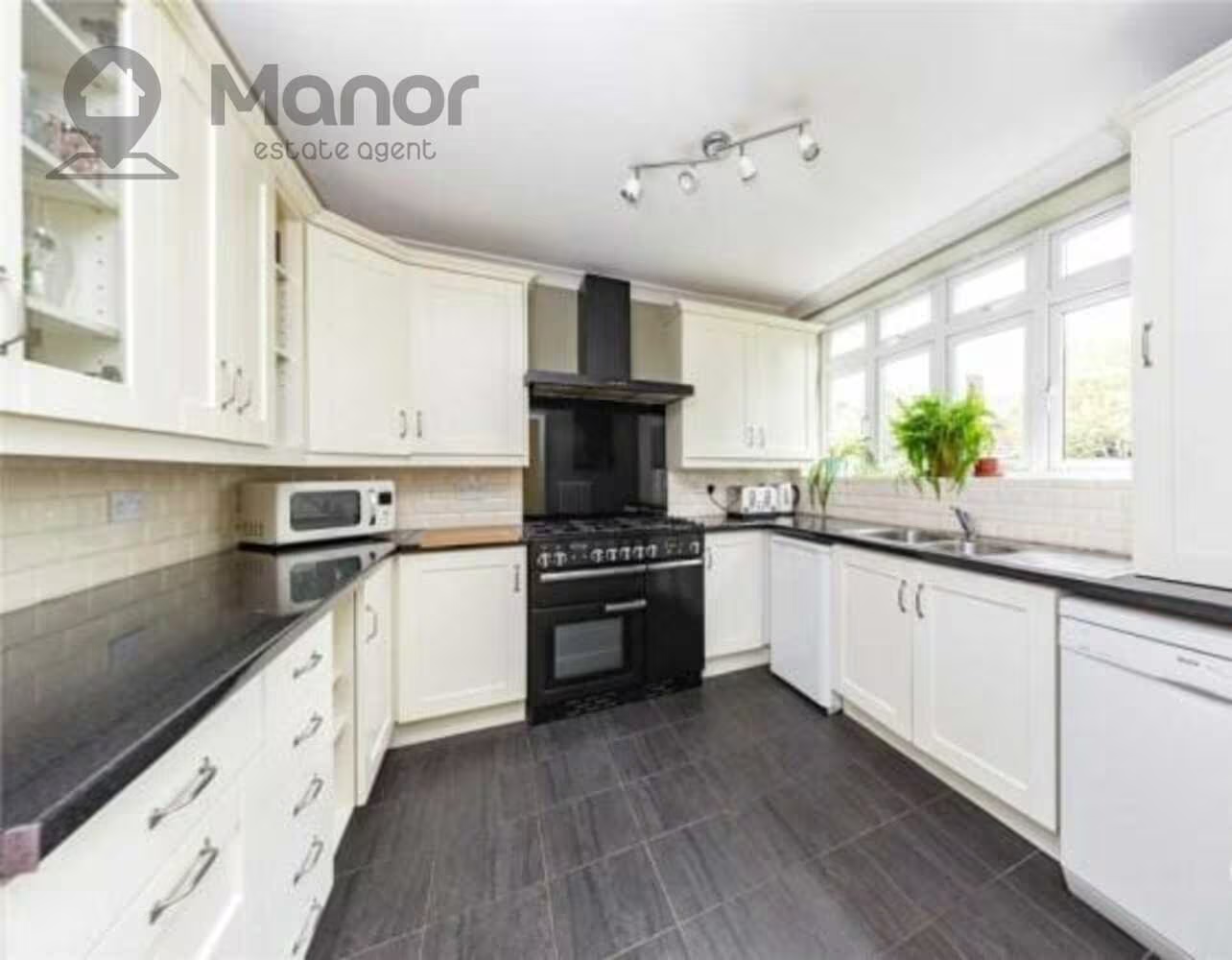
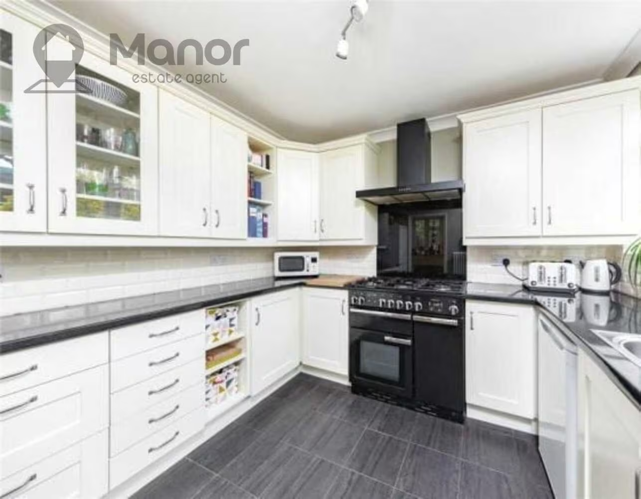
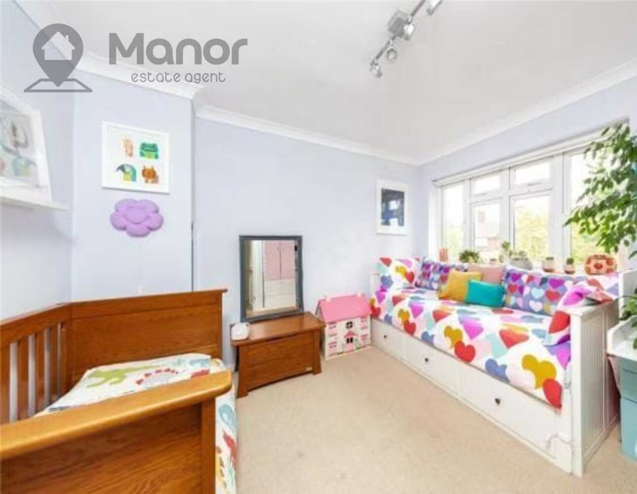
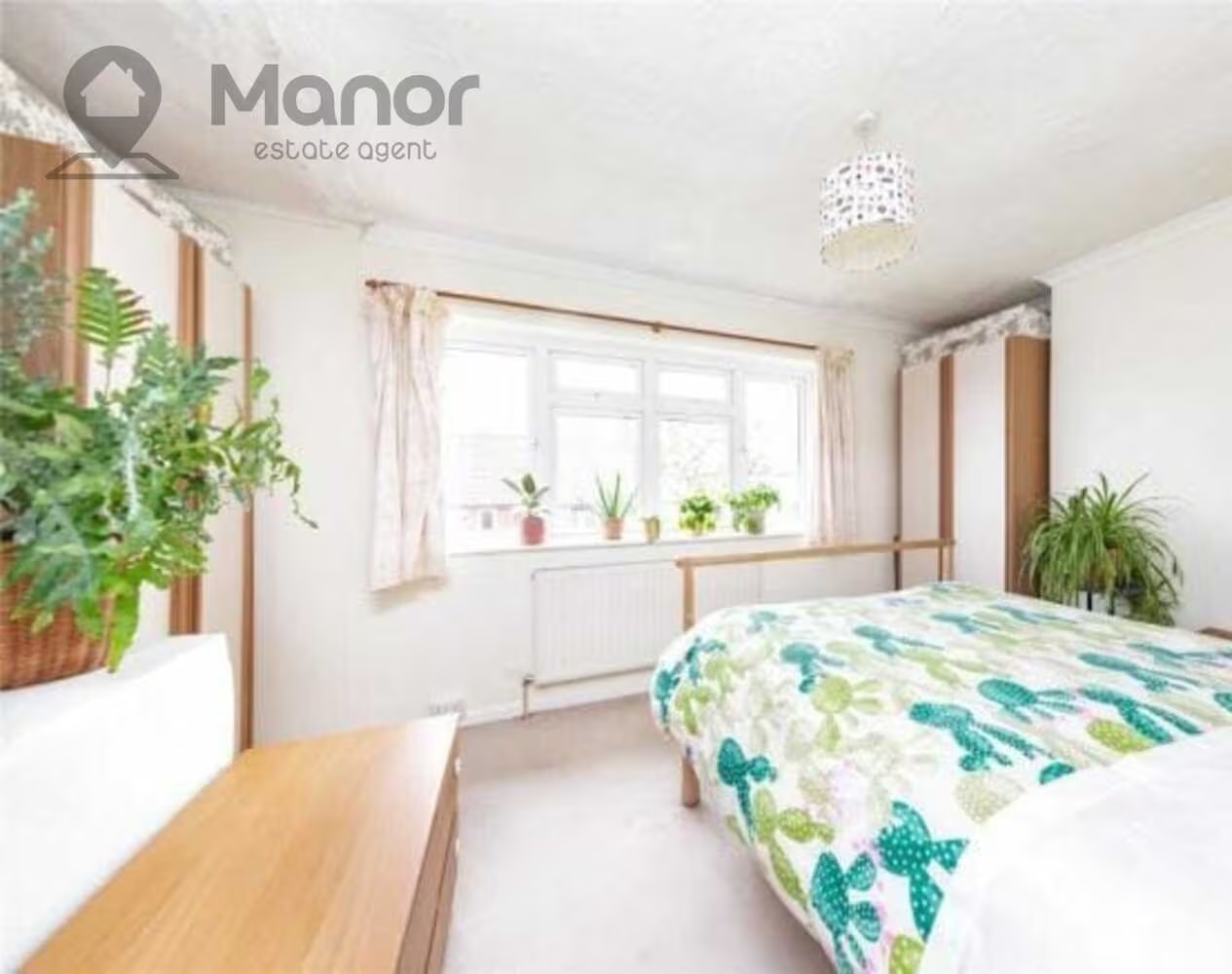
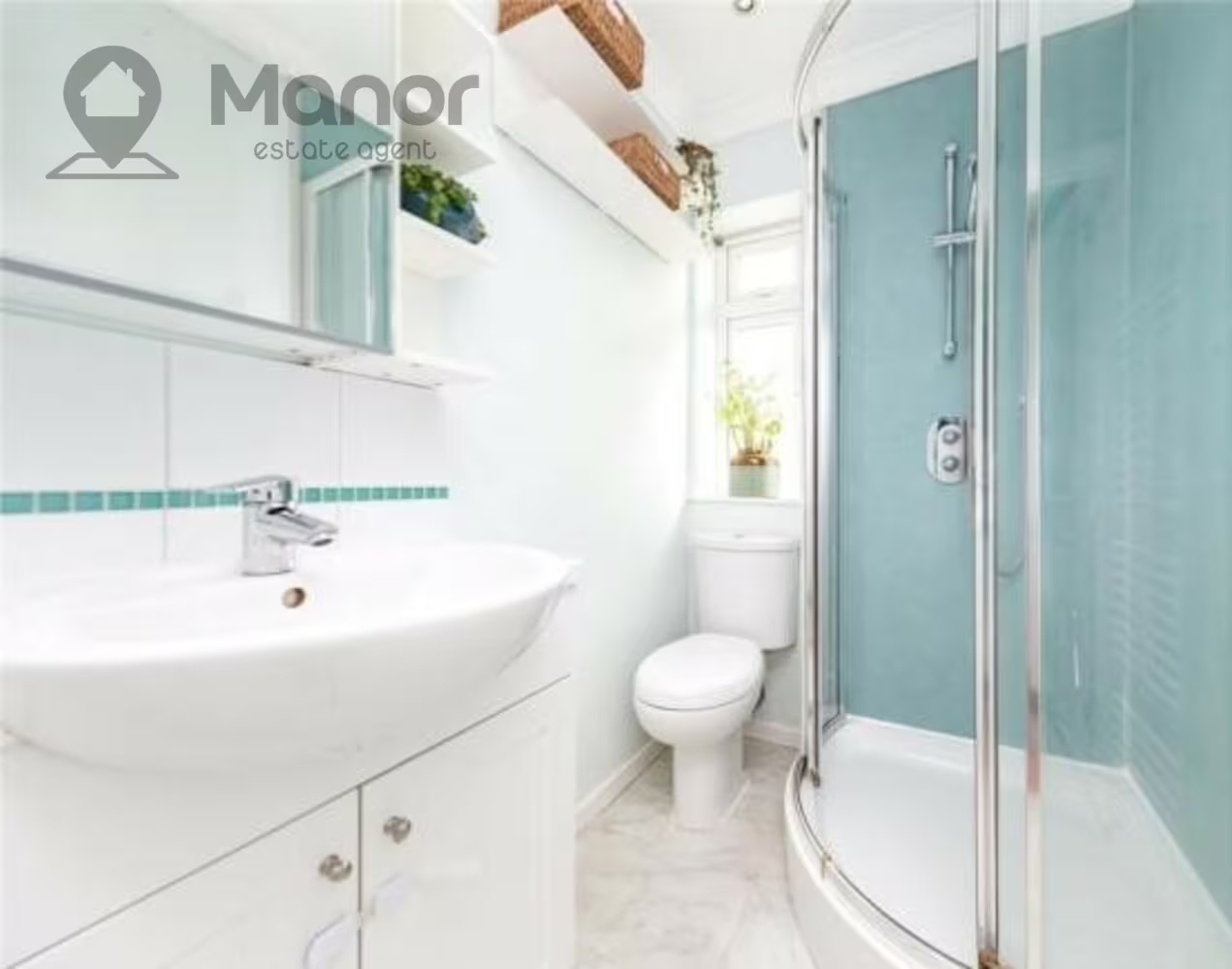
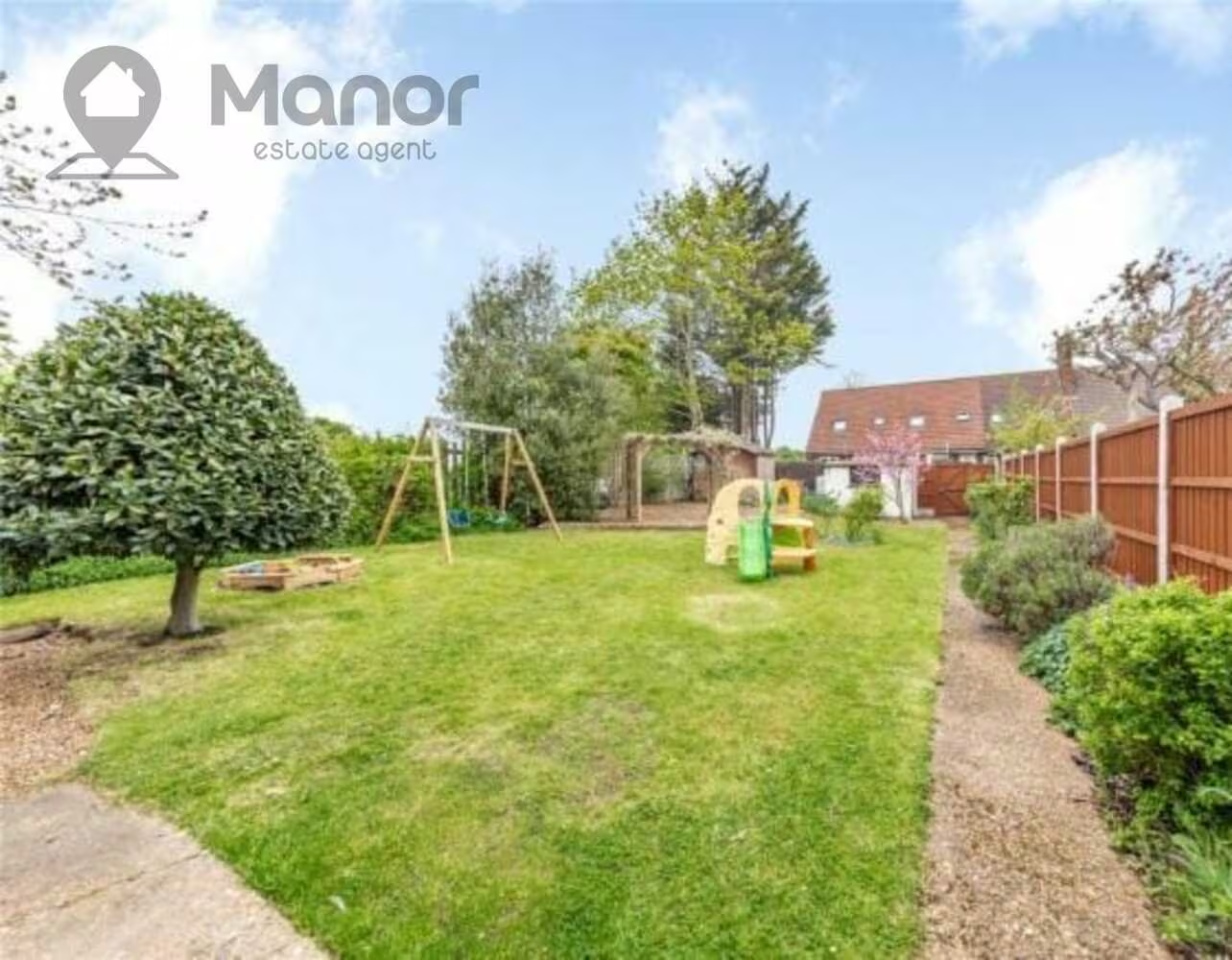
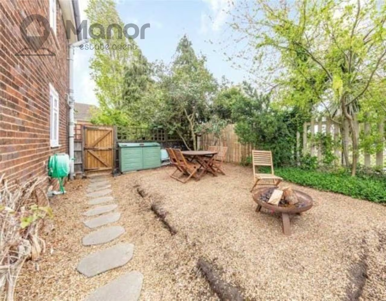
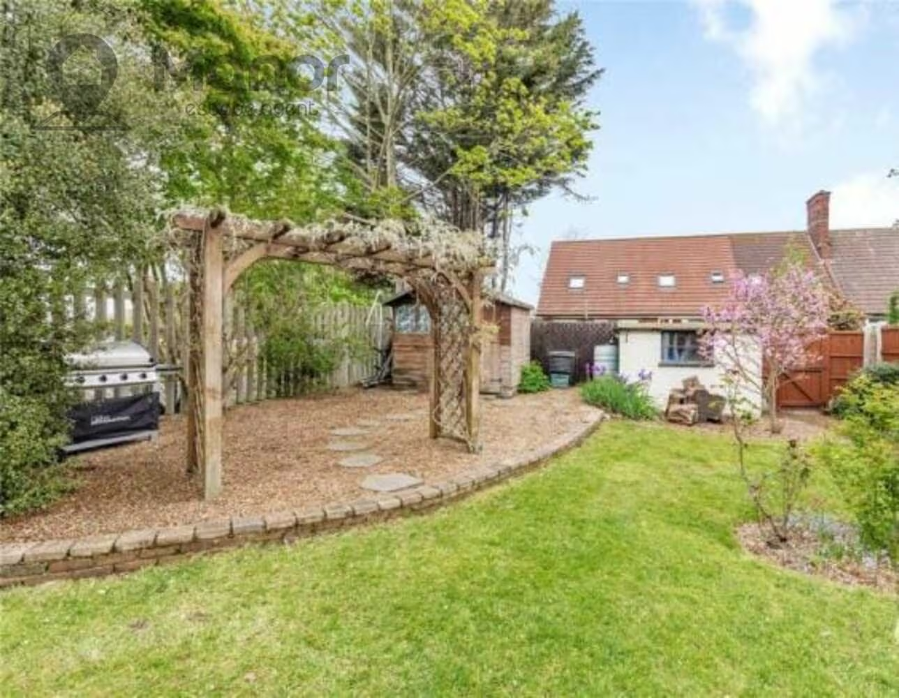
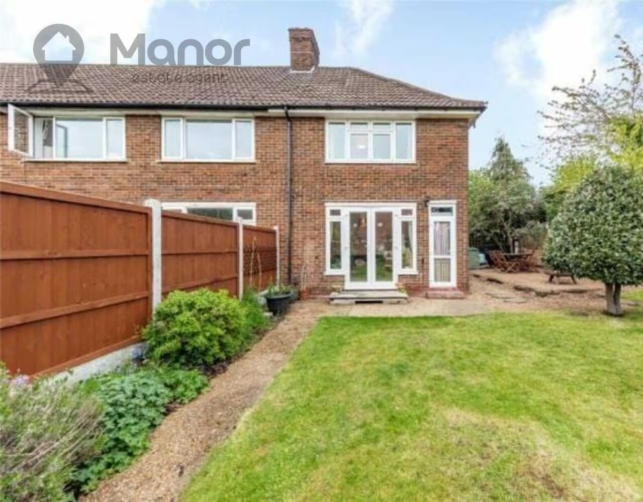
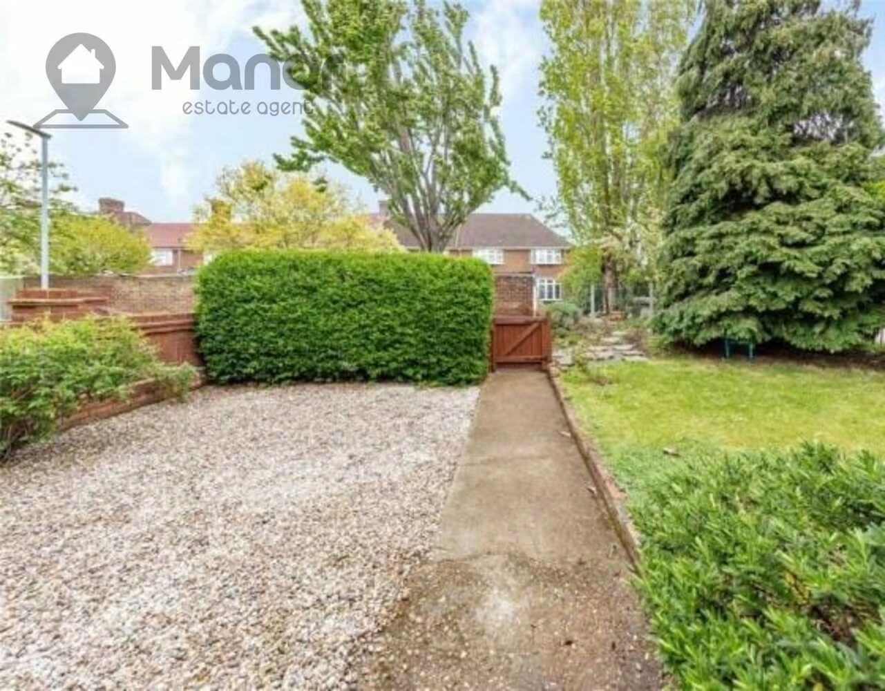
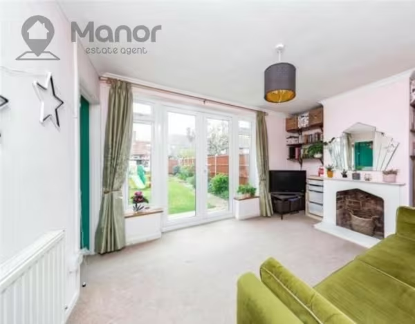
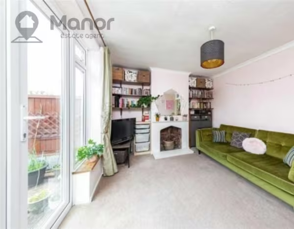
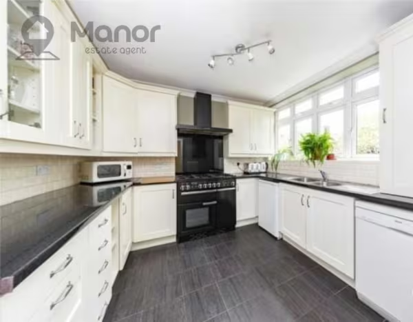
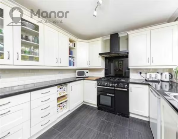
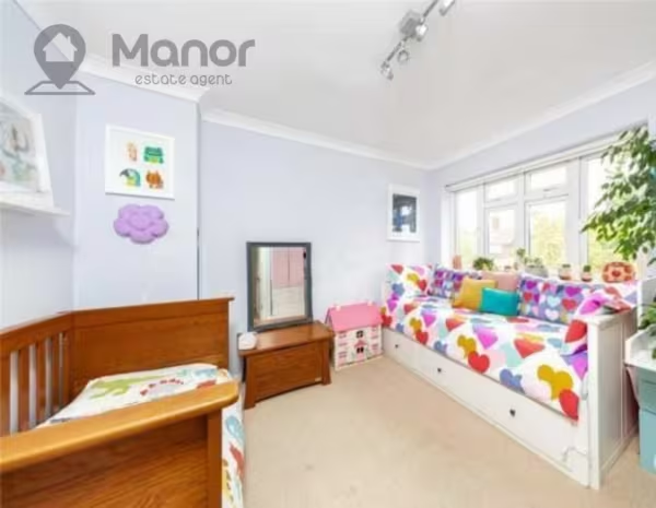
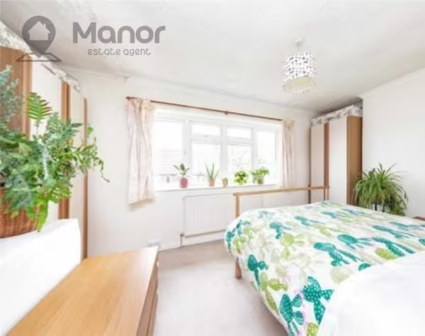
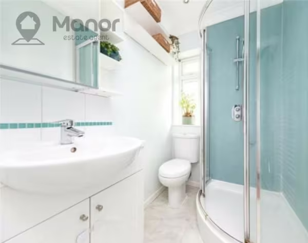
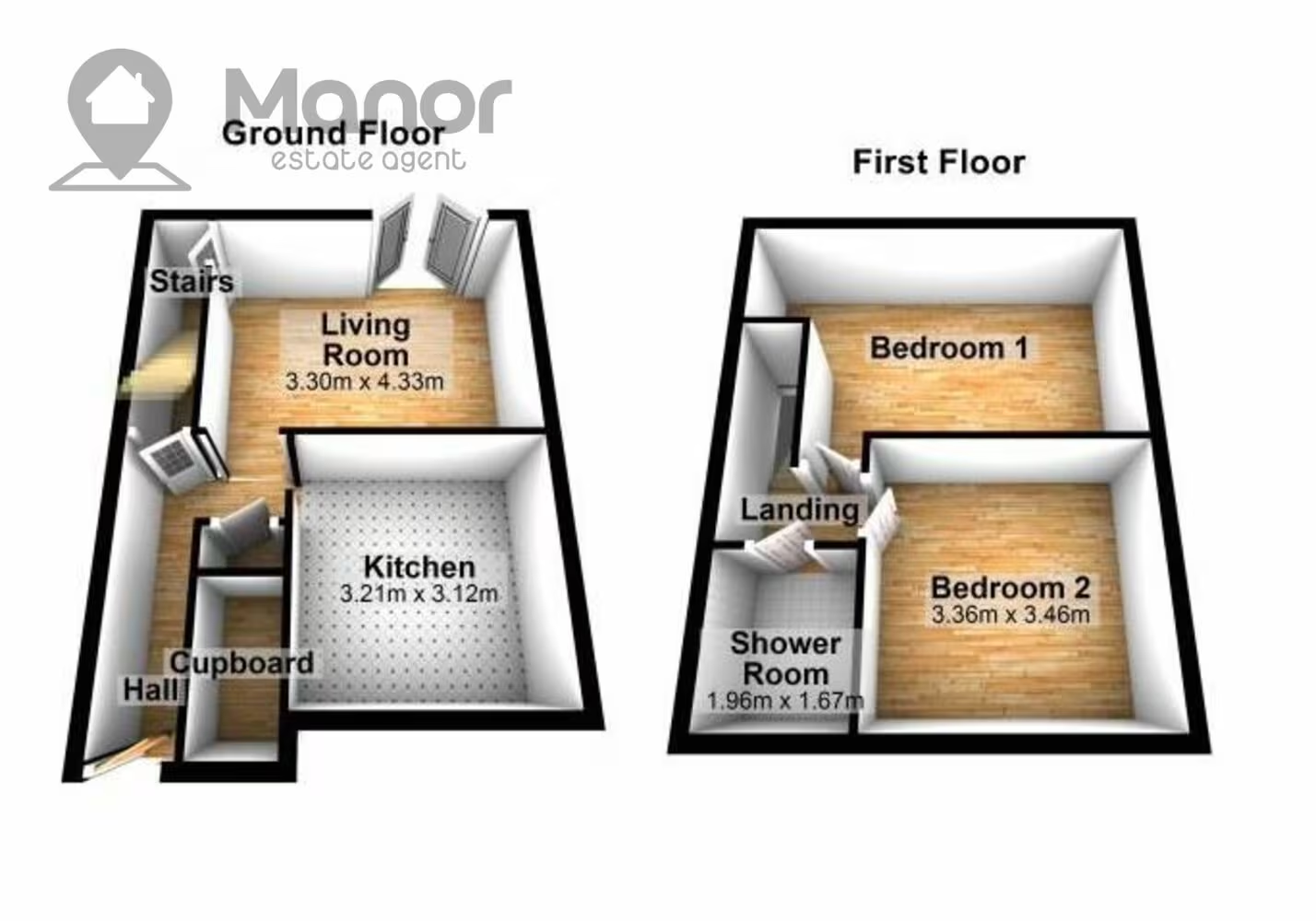
The property offers a modern fitted kitchen, two bedrooms, one reception, one bathroom and a beautiful large garden.
The property is located 8 minutes walk from Upney Station. You can also expect excellent links to major roads leading in and out of London and all local amenities on your doorstep.
Ideal for families seeking a cosy home with tons of space for the children and sound school catchment.
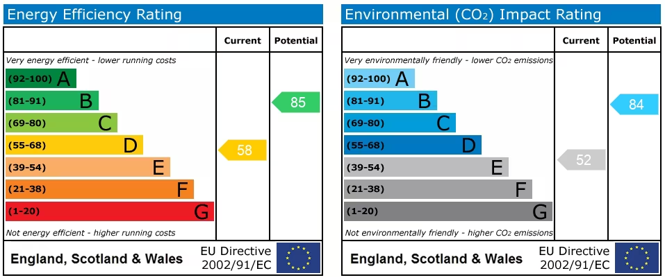
EPC rating C (Maximum Occupancy of 4 Permitted persons)
Deposit: £1550
Length of Tenancy: 6 months minimum
For more information or to arrange a viewing please call us.
Floor Plans
EPC
Ultrafast / Gigabit Broadband (300+ Mbps)
Strong Indoor & Outdoor 4G / Voice (All Providers)
Based on average Indoor & Outdoor data from the Local Authority
Nearest Local Schools & Transport Links
| School Name | Age | Distance | |
|---|---|---|---|
| Monteagle Primary School | 3-11 | 0.3 mi | |
| Eastbury Primary School | 3-11 | 0.4 mi | |
| Manor Junior School | 7-11 | 0.5 mi | |
| Manor Primary School | 3-11 | 0.5 mi | |
| Barking Abbey School, A Specialist Sports and Humanities College | 11-18 | 0.5 mi | |
| Roding Primary School | 3-11 | 0.6 mi | |
| Thames View Infants | 3-7 | 0.6 mi | |
| Thames View Junior School | 7-11 | 0.7 mi | |
| Dorothy Barley Infants' School | 3-7 | 0.8 mi | |
| Jo Richardson Community School | 11-19 | 0.8 mi |
| Station Name | Distance | |
|---|---|---|
| Upney Underground Station | 0.4 mi | |
| Becontree Underground Station | 0.8 mi | |
| Barking Riverside | 1.2 mi | |
| Barking Underground Station | 1.2 mi | |
| Barking Rail Station | 1.2 mi | |
| Dagenham Heathway Underground Station | 1.7 mi | |
| Dagenham Dock Rail Station | 1.7 mi | |
| Seven Kings Rail Station | 2.0 mi | |
| Goodmayes Rail Station | 2.0 mi | |
| Ilford Rail Station | 2.3 mi |
| Bus Stop Name | Distance | |
|---|---|---|
| Stop H - Stamford Road (RM9) | 0.1 mi | |
| Stop L - Woodward Road | 0.1 mi | |
| ->E - Lodge Avenue / Maplestead Road | 0.2 mi | |
| Stop M - Maplestead Road | 0.2 mi | |
| Stop K - Campsey Road | 0.2 mi | |
| ->W - Lodge Avenue / Maplestead Road | 0.2 mi | |
| Stop G - Barking Industrial Park | 0.3 mi | |
| Stop N - Lodge Avenue (RM9) | 0.3 mi | |
| Stop Q - Barking Industrial Park | 0.3 mi | |
| Stop F - Rippleside Cemetery | 0.3 mi |
| Airport Name | Distance | |
|---|---|---|
| London City Airport | 3.4 mi | |
| Biggin Hill Airport | 14.5 mi | |
| London Heathrow Airport | 24.6 mi | |
| London Stansted Airport | 25.3 mi | |
| London Southend Airport | 25.7 mi | |
| London Gatwick Airport | 28.8 mi | |
| London Luton Airport | 31.6 mi | |
| Cambridge Airport | 46.6 mi | |
| Shoreham Brighton City Airport | 51.6 mi | |
| Lydd London Ashford Airport | 53.9 mi |