Craven Gate, Lorne Road, Brentwood, CM14 5HH
£1,600 pcm
Property features
- 2nd Floor
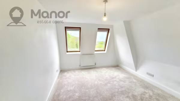
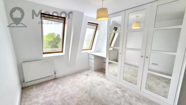
- 2 Double Bedrooms
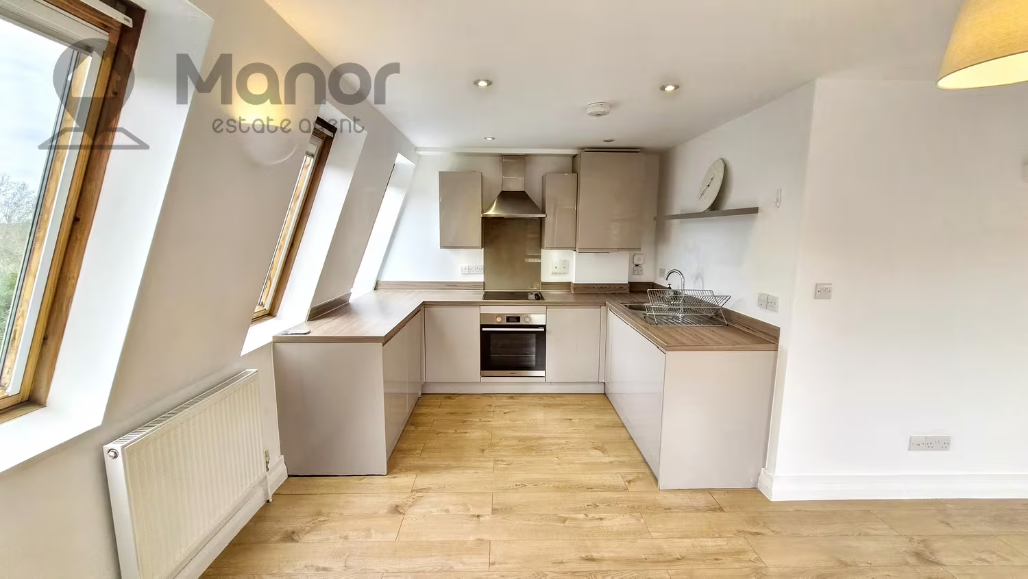
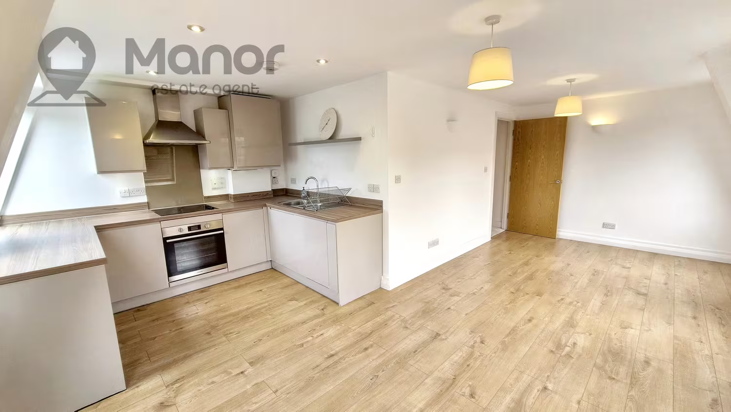
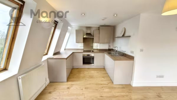
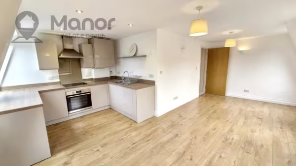
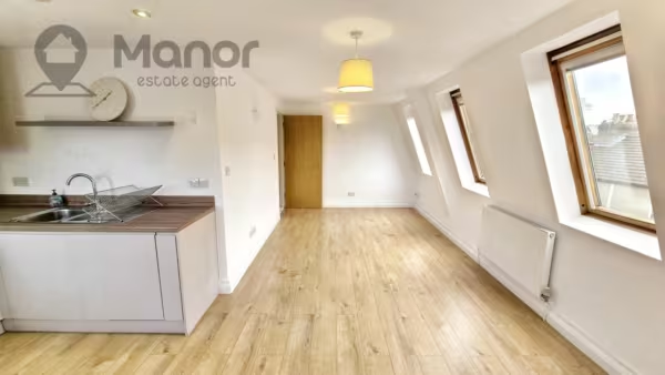
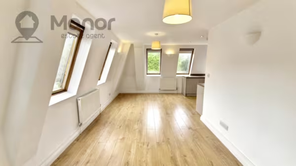
- Modern Open Plan Kitchen
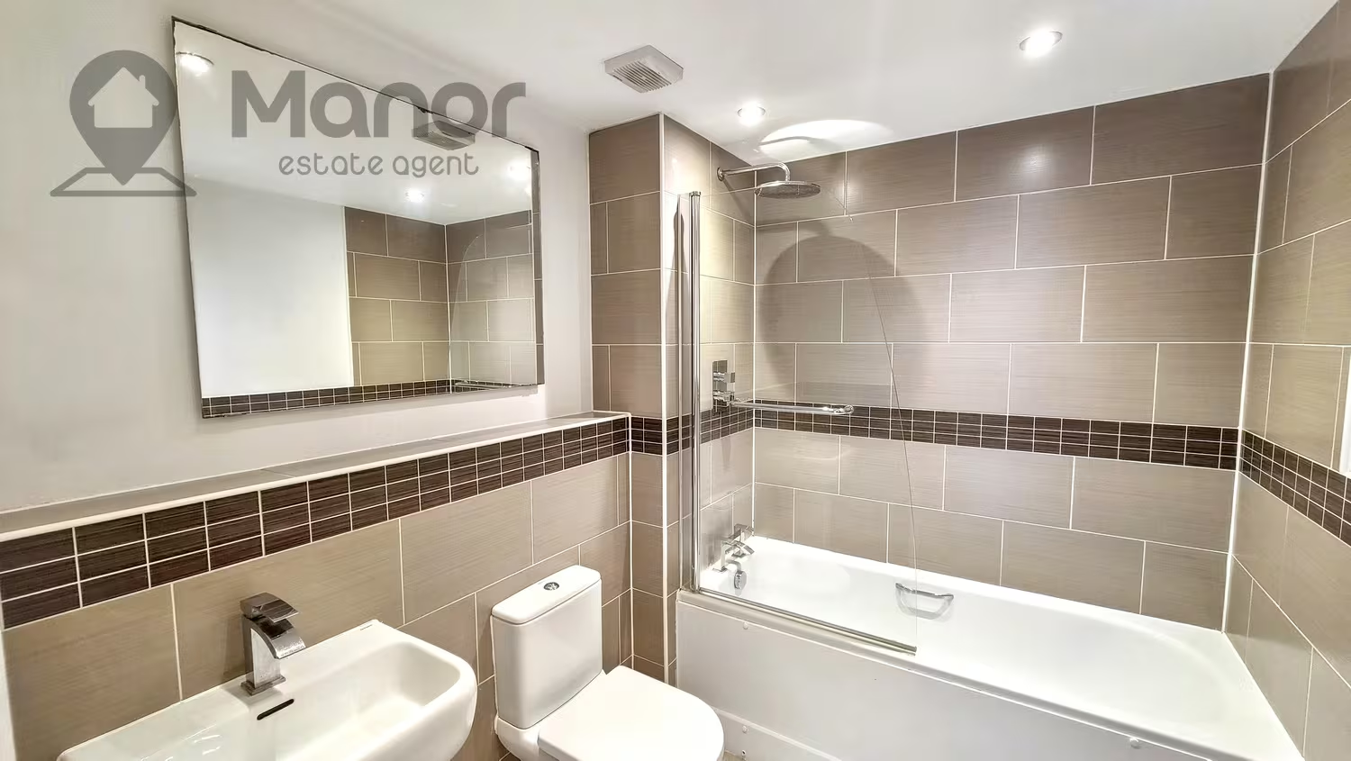
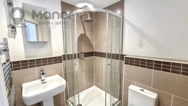
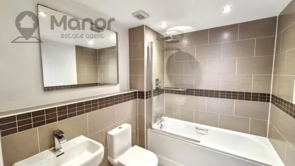
- 2 Modern Bathrooms
- Allocated One Parking Space
- Close to Brentwood Station (Elizabteh Line)
- Close Proximity to Warley Primary School & Brentwood County High School
Summary
Manor Estate Agent are delighted to offer this two bedroom top floor flat to Let in Craven Gate, Lorne Road, Brentwood, CM14 5HH.Details
Manor Estate Agent are delighted to offer this two bedroom top floor flat to Let in Craven Gate, Lorne Road, Brentwood, CM14 5HH.
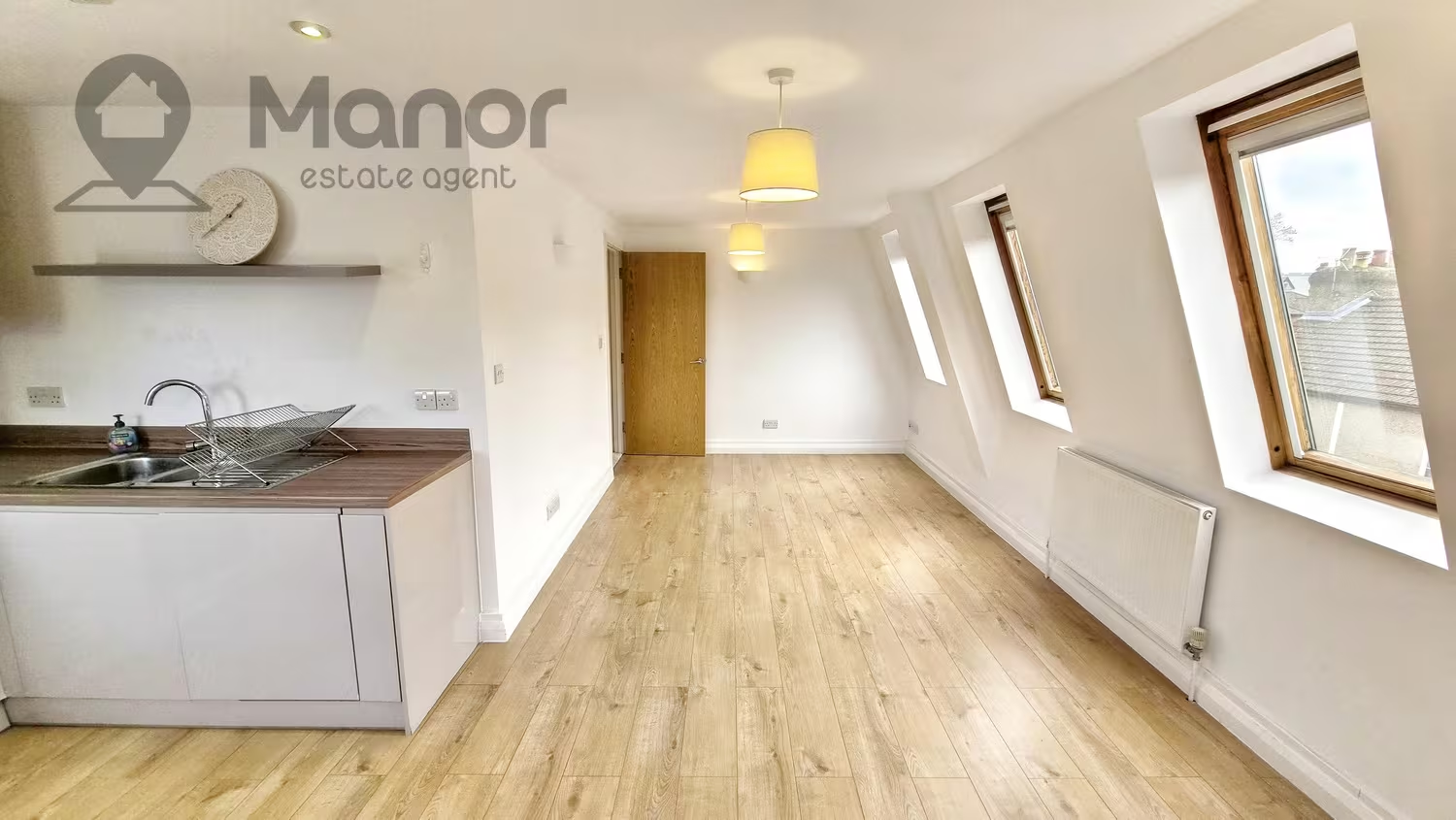
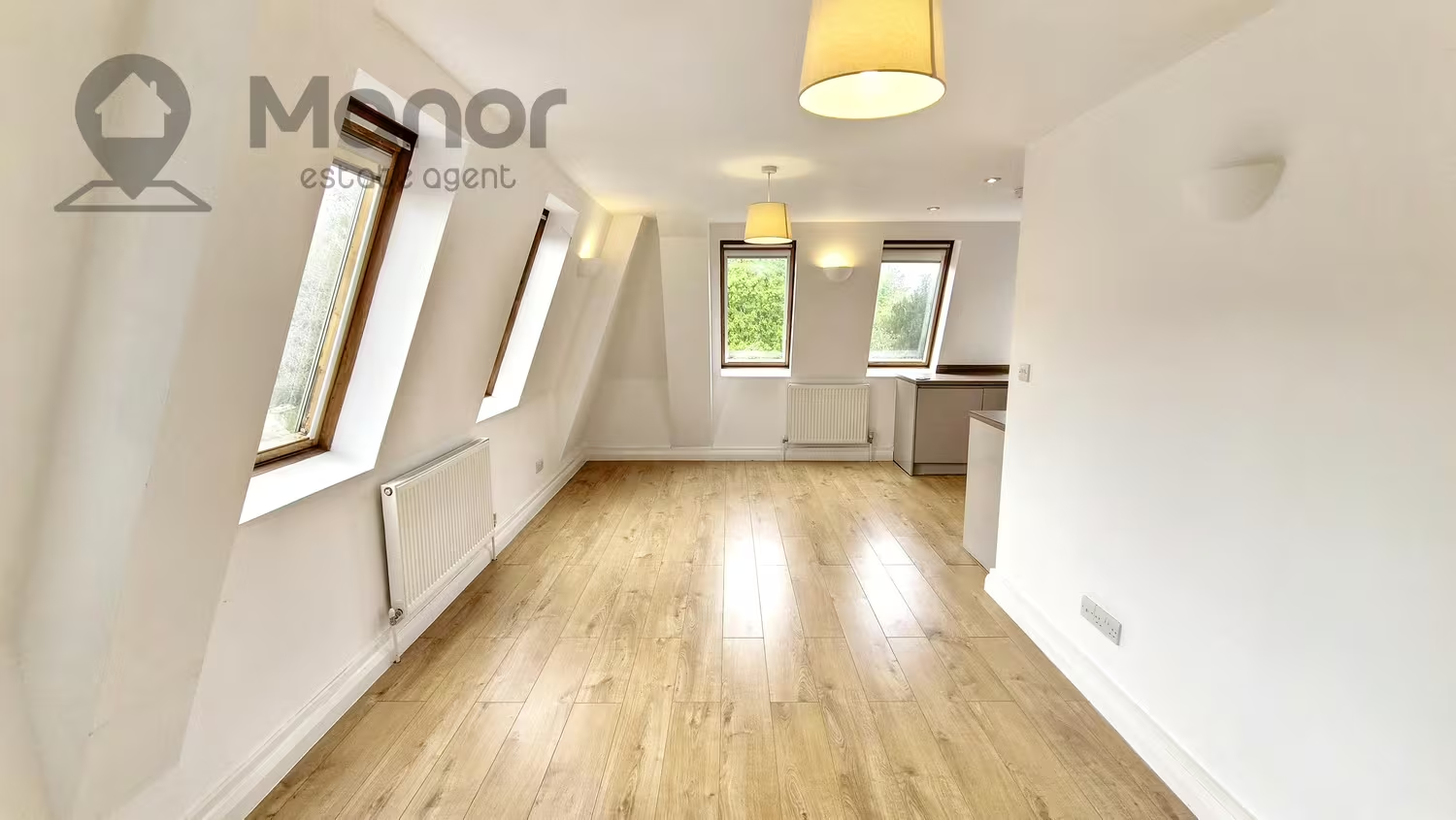
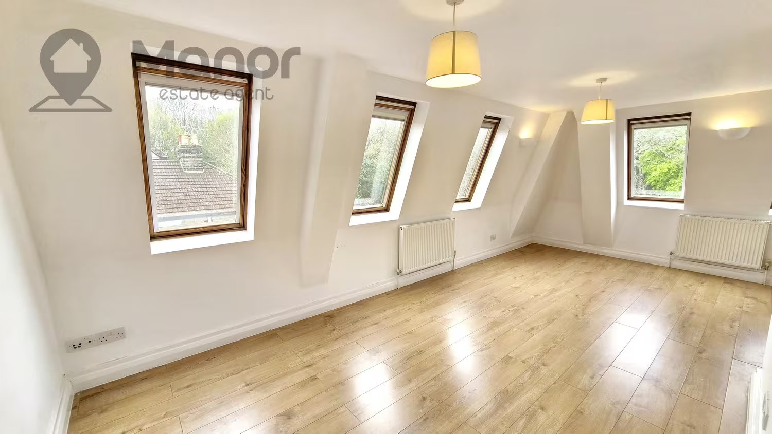
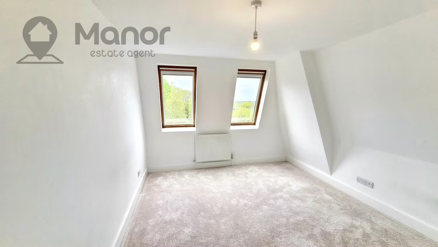
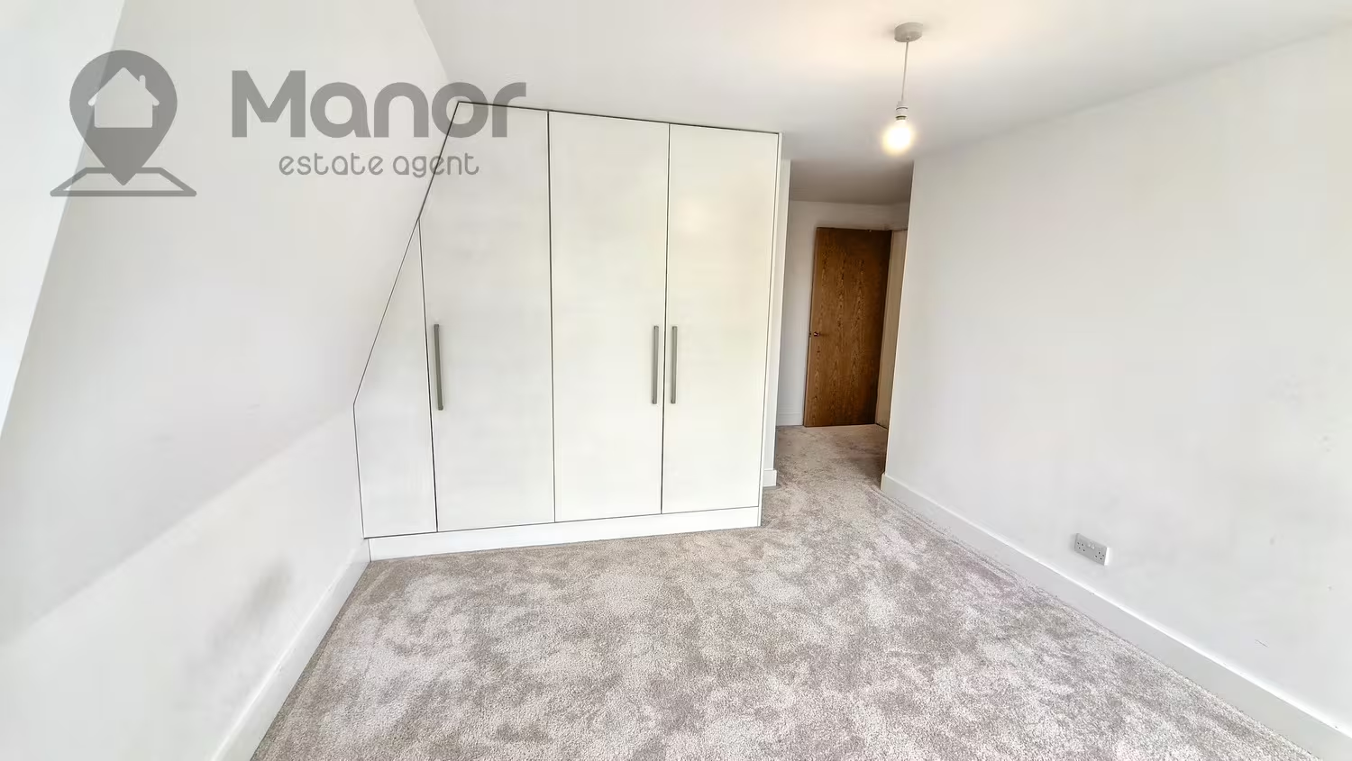
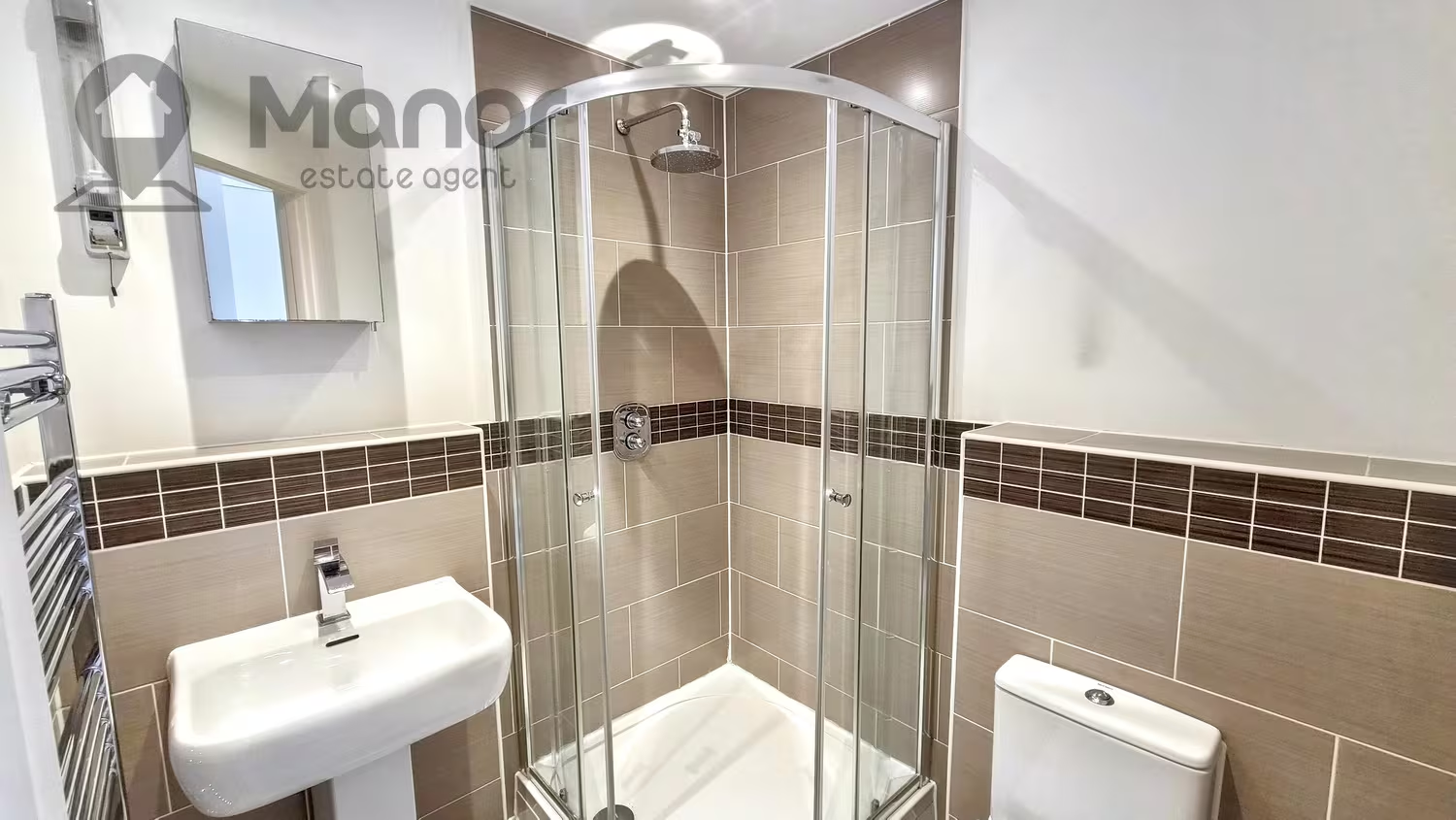
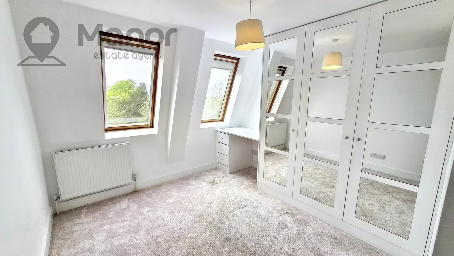
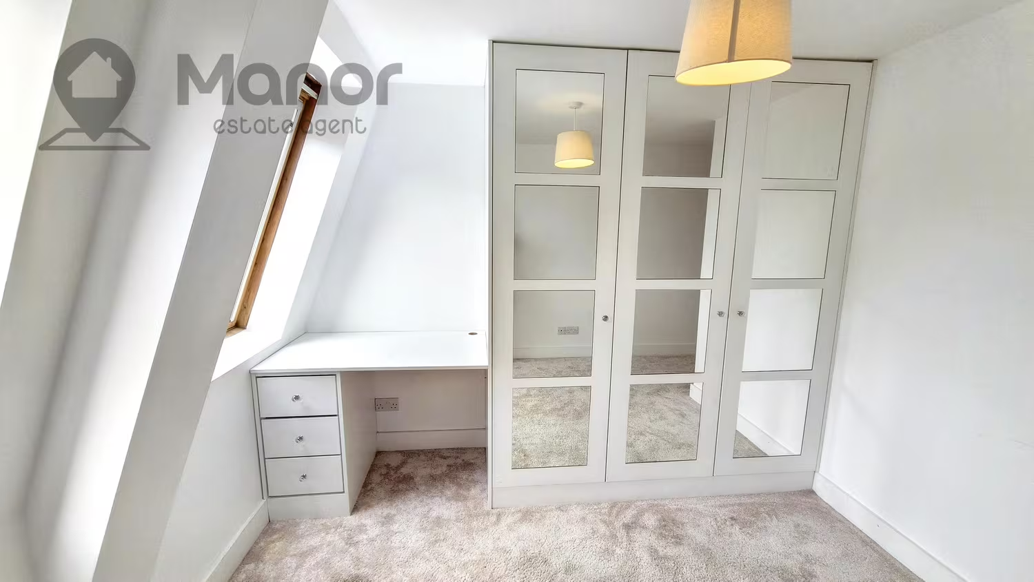
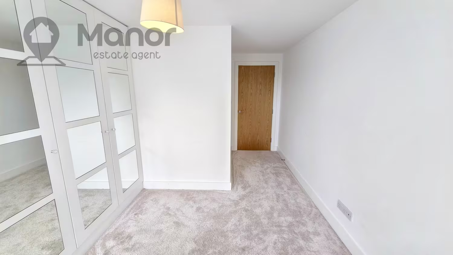
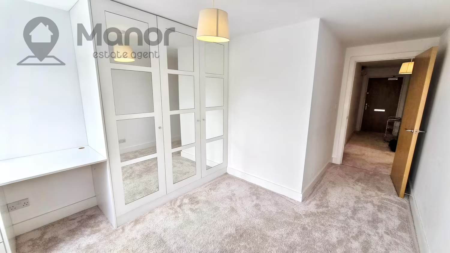
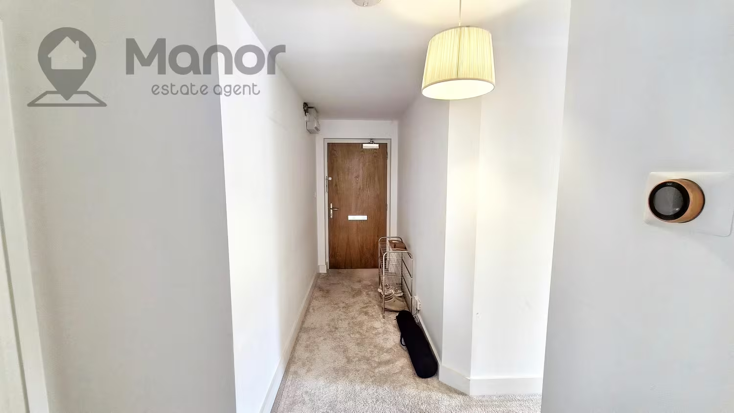
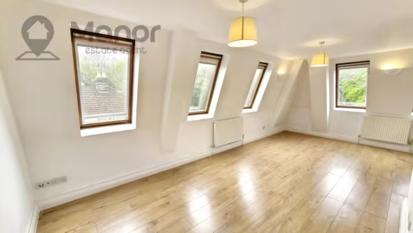
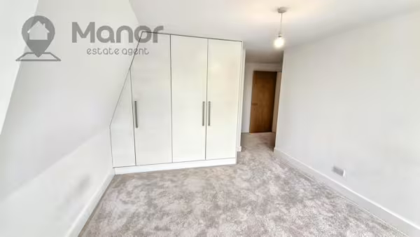
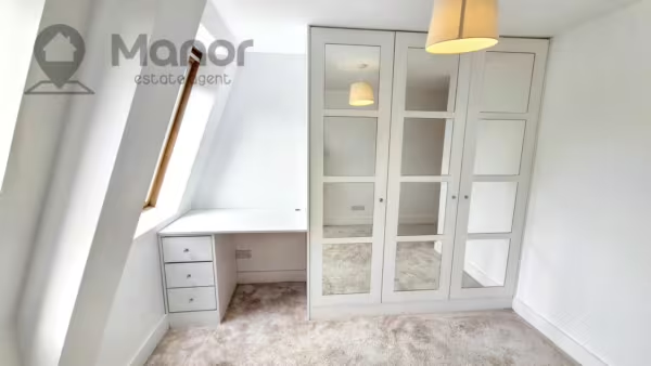
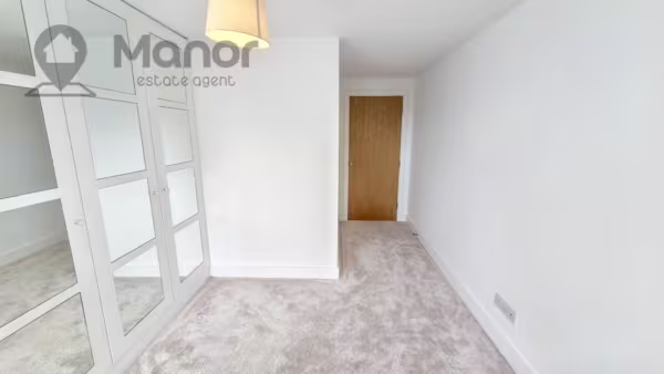
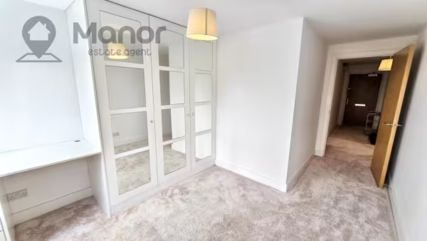
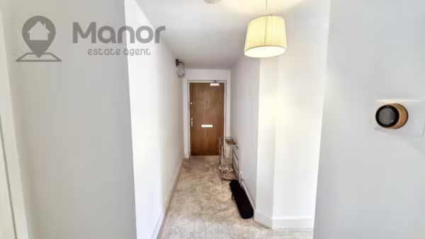
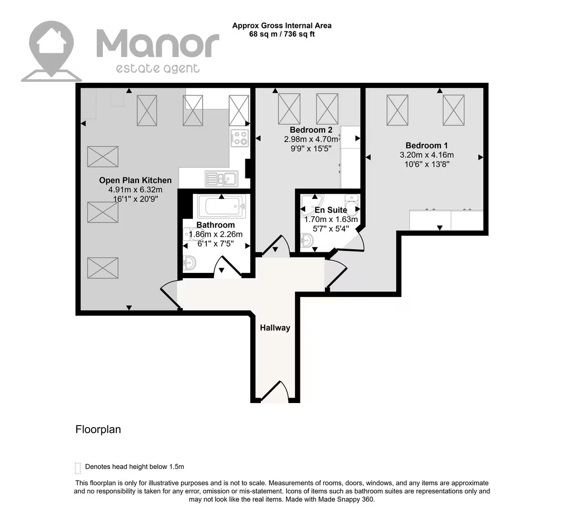
This unfurnished second floor flat comprises of a modern open plan kitchen, two double bedrooms both with fitted wardrobes and one master bedroom with en-suite, a modern bathroom suite, storage space and a allocated parking space.
The property is located just a 8 minutes walk from Brentwood Station providing easy access into London via the Elizabeth line. You can also expect excellent links to major roads leading in and out of Brentwood and and all local amenities on your doorstep.
Ideal for a working professional couple and small families seeking a cosy home with tons of space for the children and school catchment area of Warley Primary School & Brentwood County High School.
Key Information:
Rent £1700 PCM
Deposit: £1950
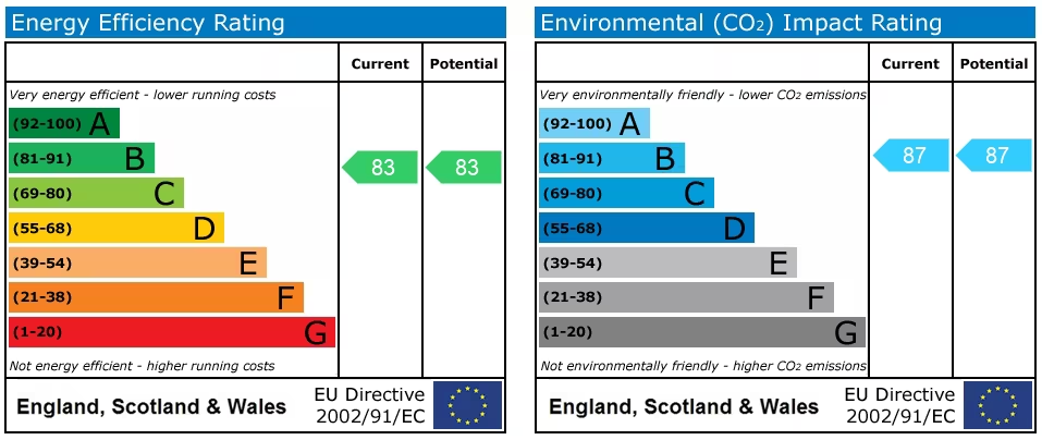
EPC rating: B
Council Tax band: E
Utilities: TBC
Maximum Occupancy: 4 permitted persons
For more information or to arrange a viewing please call us.
Floor Plans
EPC
Nearest Local Schools & Transport Links
| School Name | Age | Distance | |
|---|---|---|---|
| Warley Primary School | 4-11 | 0.3 mi | |
| Holly Trees Primary School | 4-11 | 0.4 mi | |
| Brentwood Ursuline Convent High School | 11-18 | 0.7 mi | |
| Brentwood County High School | 11-18 | 0.7 mi | |
| Ursuline Preparatory School | 3-11 | 0.7 mi | |
| Hogarth Primary School | 4-11 | 1.0 mi | |
| Endeavour Co-Operative Academy | 4-19 | 1.1 mi | |
| Brentwood School | 3-19 | 1.1 mi | |
| Grove House School | 8-19 | 1.3 mi | |
| St Thomas of Canterbury Church of England Aided Primary School, Brentwood | 4-11 | 1.3 mi |
| Station Name | Distance | |
|---|---|---|
| Brentwood Rail Station | 0.4 mi | |
| Shenfield Rail Station | 2.1 mi | |
| Harold Wood Rail Station | 3.0 mi | |
| West Horndon Rail Station | 3.4 mi | |
| Upminster Rail Station | 4.0 mi | |
| Upminster Underground Station | 4.0 mi | |
| Upminster Rail Station | 4.0 mi | |
| Emerson Park Rail Station | 4.3 mi | |
| Gidea Park Rail Station | 4.4 mi | |
| Upminster Bridge Underground Station | 4.4 mi |
| Bus Stop Name | Distance | |
|---|---|---|
| adj - Albert Street | 0.1 mi | |
| opp - Albert Street | 0.1 mi | |
| adj - Warley Mount | 0.1 mi | |
| opp - Medical Centre | 0.2 mi | |
| W-bound - Warley Hill | 0.2 mi | |
| opp - Warley Mount | 0.2 mi | |
| opp - Blackthorn Way | 0.2 mi | |
| opp - Osborne Heights | 0.2 mi | |
| adj - Blackthorn Way | 0.3 mi | |
| adj - Mount Crescent | 0.3 mi |
| Airport Name | Distance | |
|---|---|---|
| London City Airport | 12.9 mi | |
| London Southend Airport | 17.7 mi | |
| London Stansted Airport | 19.6 mi | |
| Biggin Hill Airport | 22.2 mi | |
| London Heathrow Airport | 33.7 mi | |
| London Luton Airport | 34.5 mi | |
| London Gatwick Airport | 37.1 mi | |
| Cambridge Airport | 41.9 mi | |
| Kent International Airport | 49.2 mi | |
| Lydd London Ashford Airport | 53.0 mi |