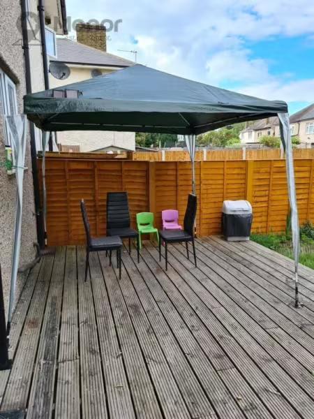
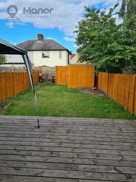
Chittys Lane, Dagenham, RM8 3RT
£1,400 pcm
2 x
1 x
1 x
Department:
Lettings
Reference:
MLW-97339513
Postcode:
RM8 3RT
Type:
Terraced House
Availability:
Let
Receptions:
1
Furnished:
Part Furnished
Deposit:
1,400
Available Date:
2020-07-07
Council Tax Band:
C
Property features
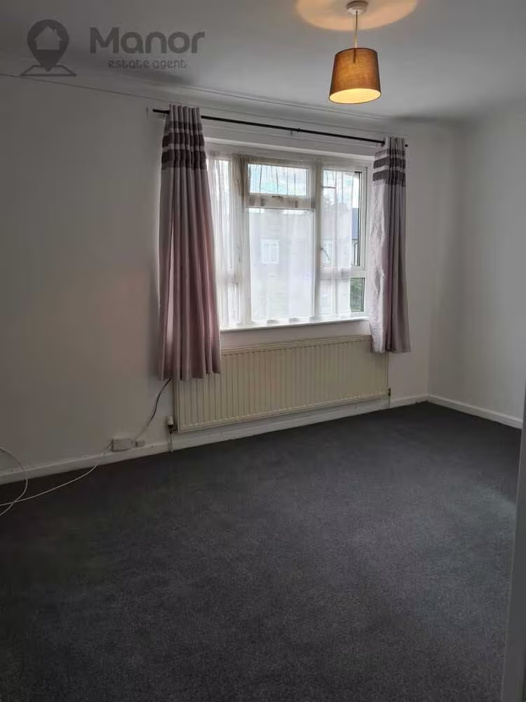
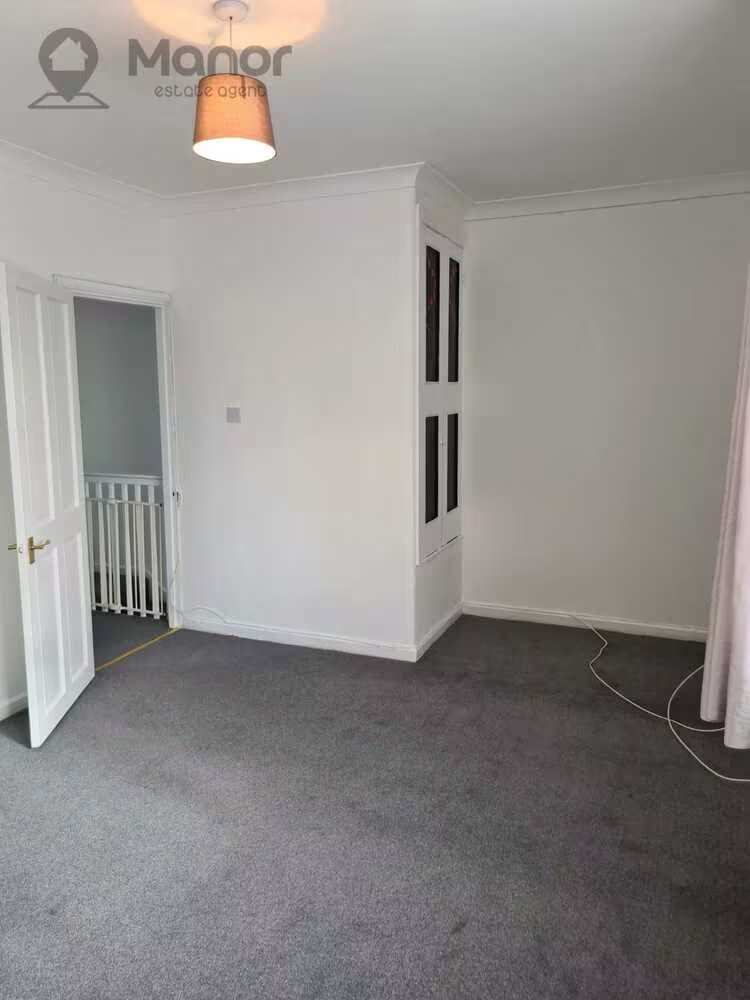
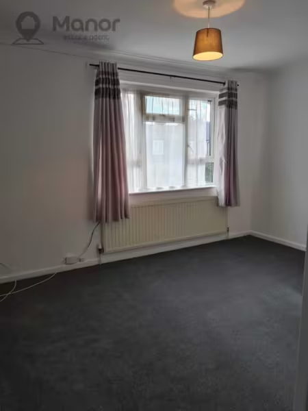
- •Two Double Bedrooms
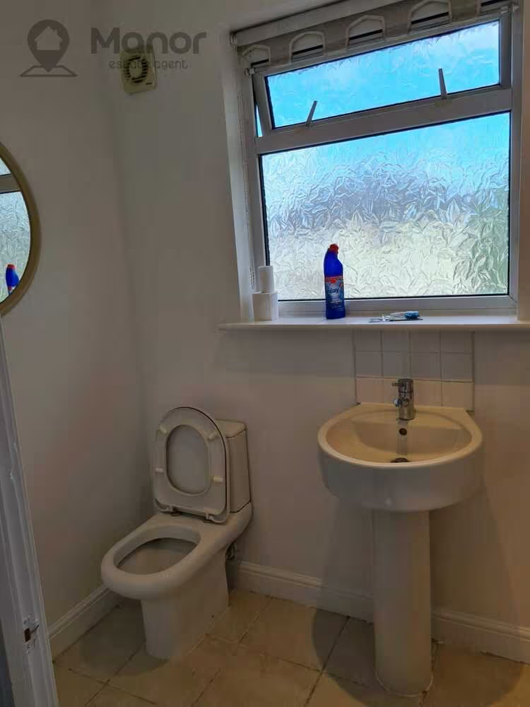
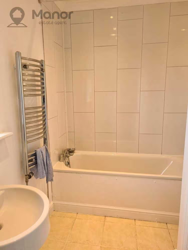
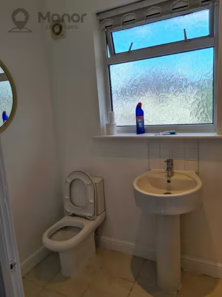
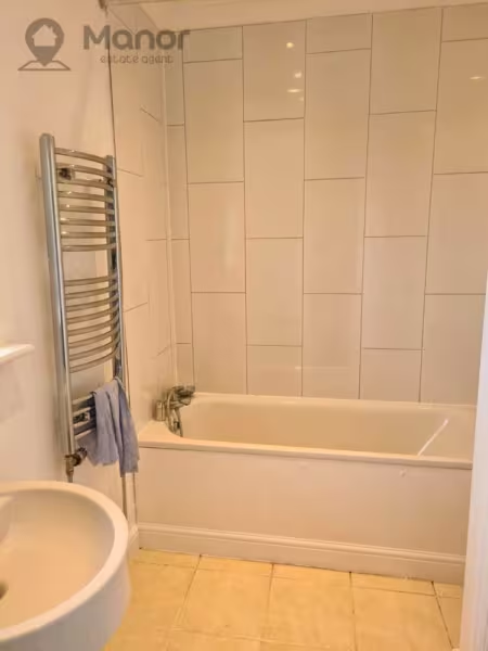
- •One Bathroom
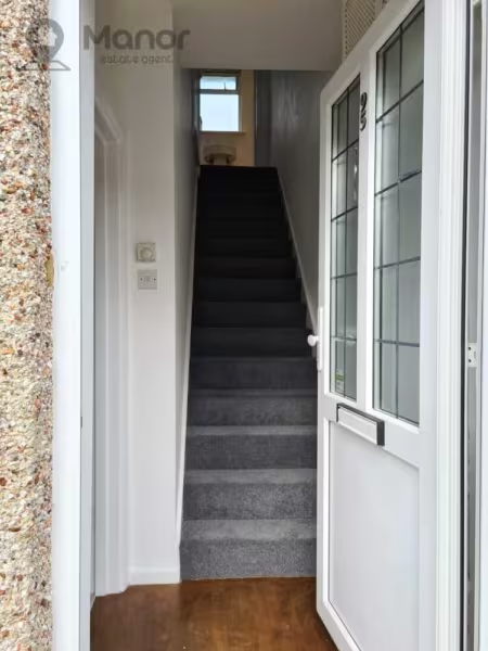
- •Side Entrance
- •Central Heating
- •Double Glazed
- •Close to Public Transport Links and Local Amenities
Summary
Manor Estate Agent are delighted to offer this Two Bedroom spacious house to Let on Chittys Lane, Dagenham, RM8 3RT.Details
Manor Estate Agent are delighted to offer this Two Bedroom spacious house to Let on Chittys Lane, Dagenham, RM8 3RT.
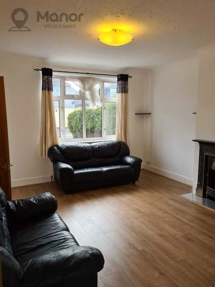
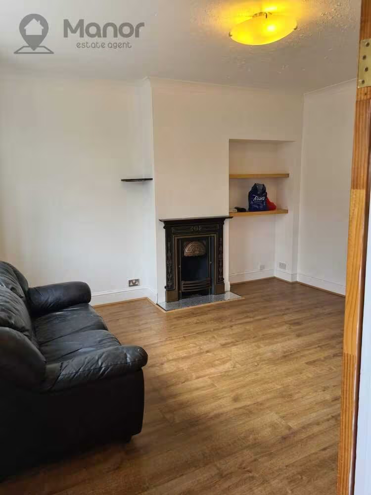
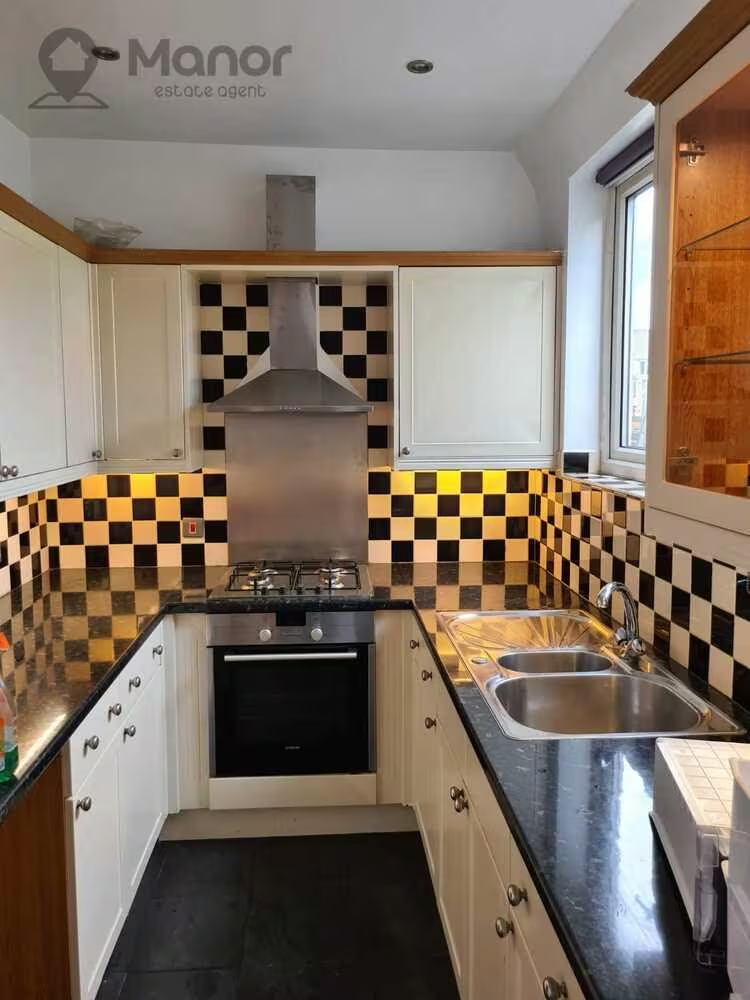
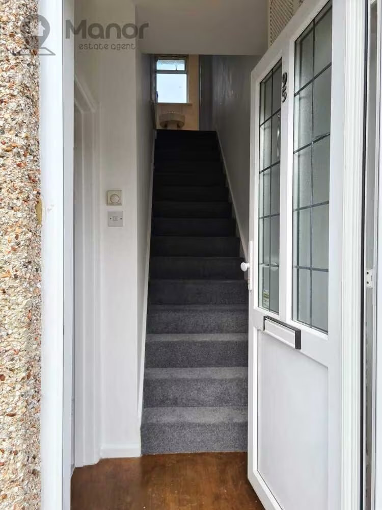
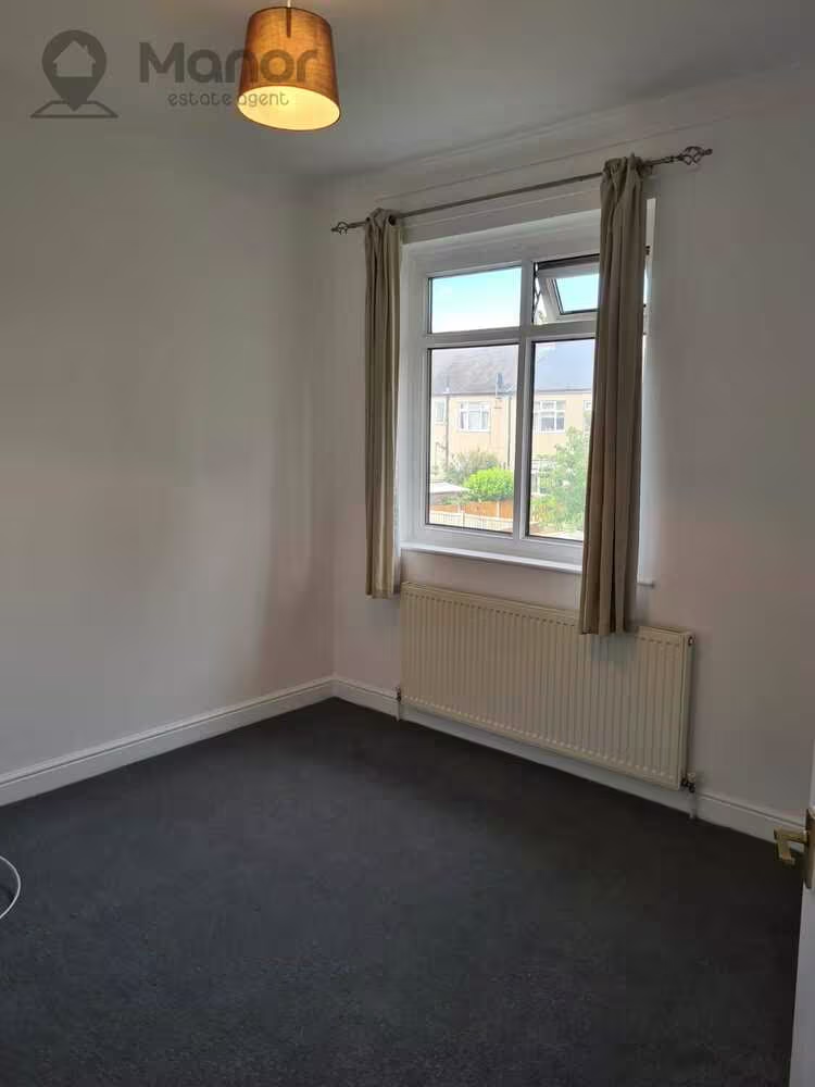
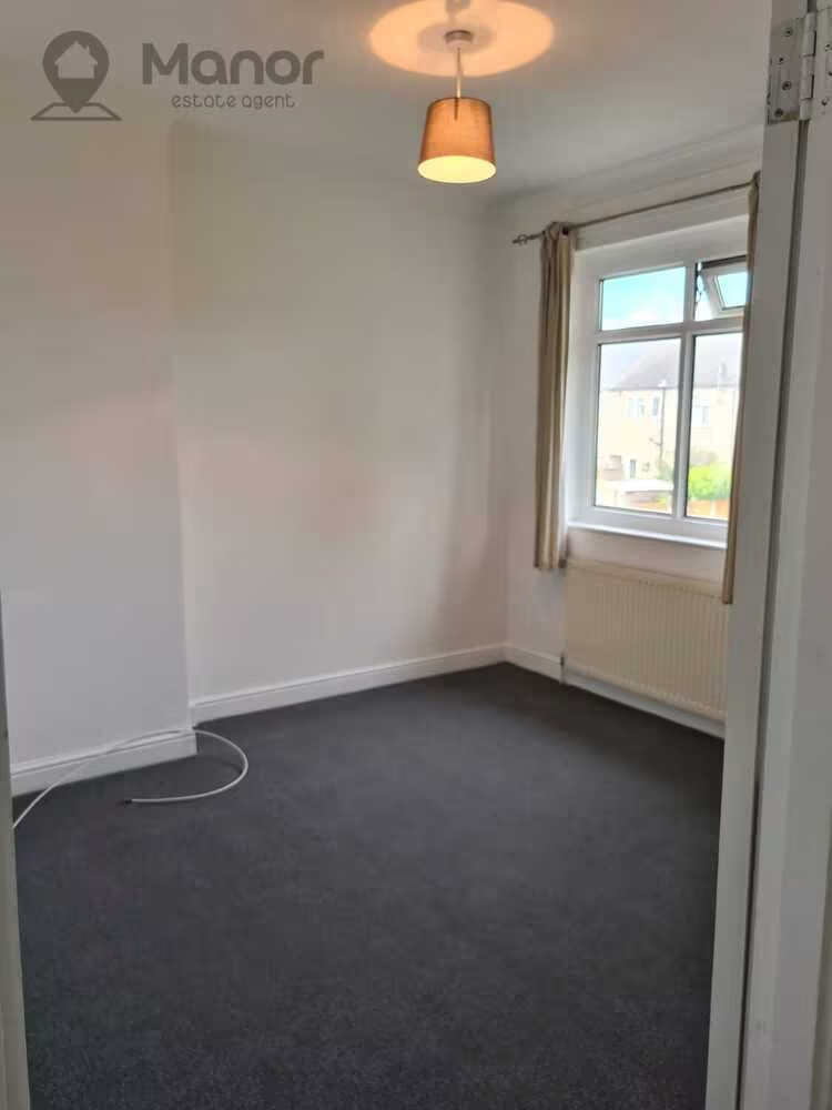
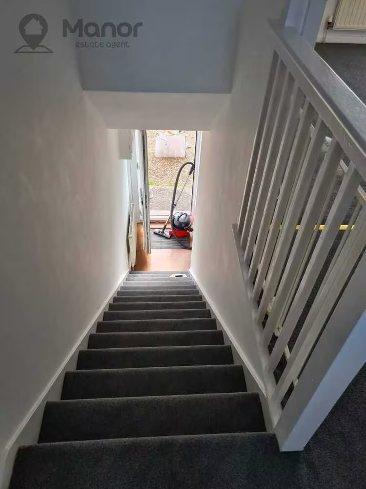
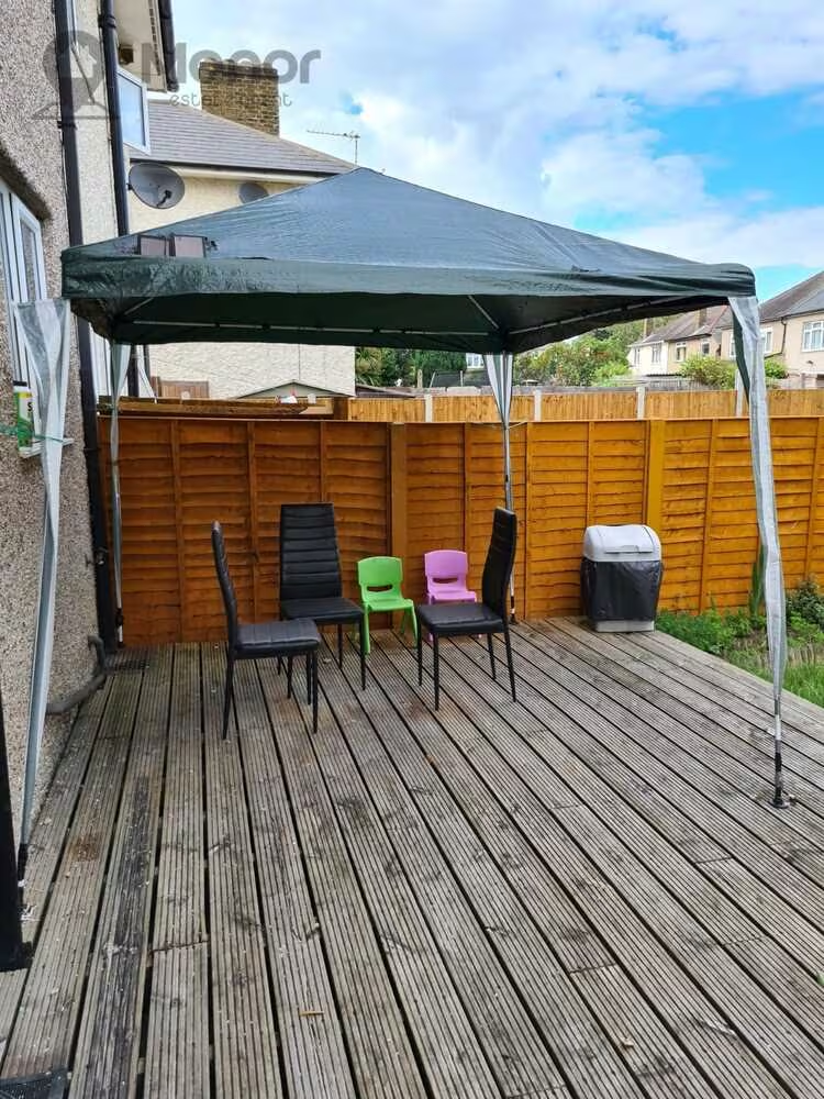
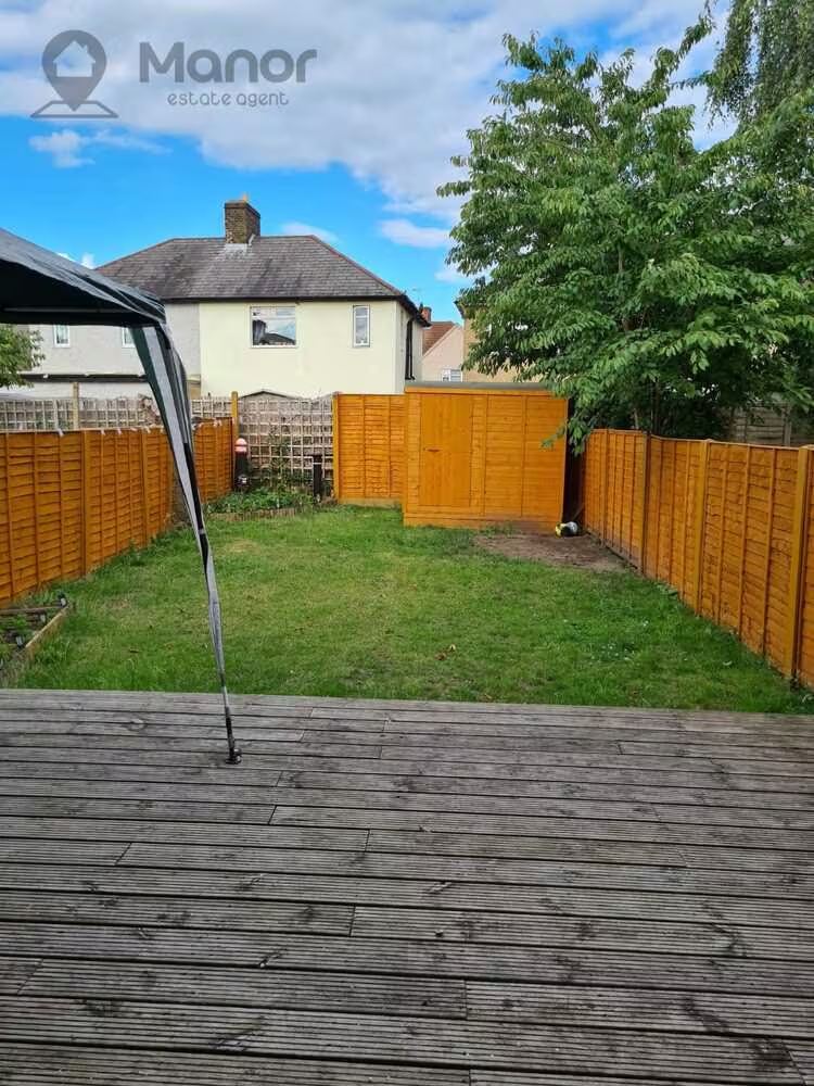
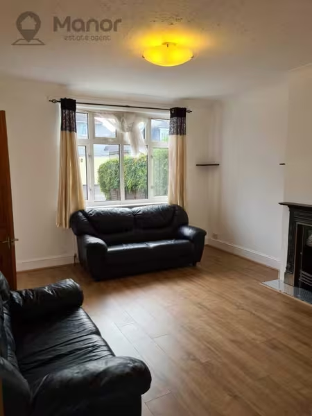
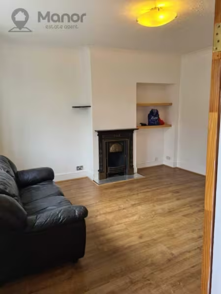
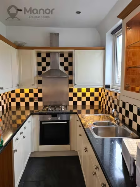
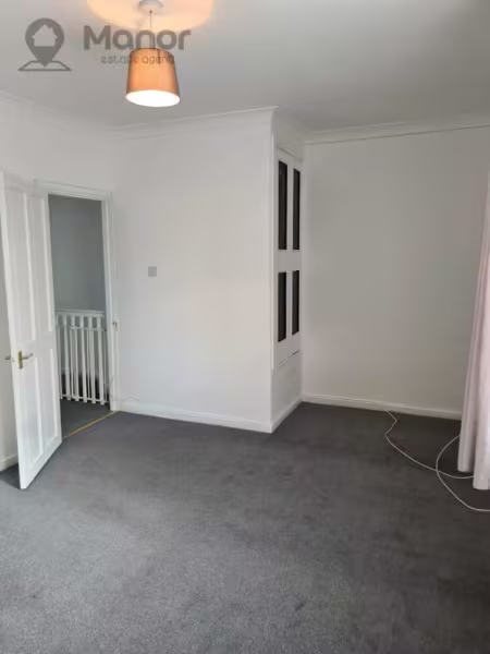
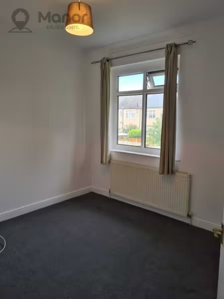
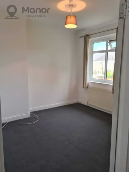
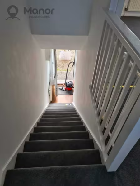
The Ground floor comprises of a spacious reception, modern fitted kitchen and side entrance which leads to the rear Garden. The first floor boasts a bathroom, and two double bedrooms.
The property is located just 13 minutes walk from Chadwell Heath Station.
Ideal for families seeking a cosy home with tons of space for the children and sound school catchment.
For more information or to arrange a viewing please call us.
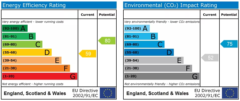
EPC
Ultrafast / Gigabit Broadband (300+ Mbps)
Strong Indoor & Outdoor 4G / Voice (All Providers)
Based on average Indoor & Outdoor data from the Local Authority
Nearest Local Schools & Transport Links
| School Name | Age | Distance | |
|---|---|---|---|
| Henry Green Primary School | 3-11 | 0.1 mi | |
| St Vincent's Catholic Primary School | 3-11 | 0.2 mi | |
| Valence Primary School | 3-11 | 0.3 mi | |
| Mayfield School | 11-18 | 0.4 mi | |
| Becontree Primary School | 3-11 | 0.5 mi | |
| Al-Noor Voluntary Aided Muslim Primary School | 4-11 | 0.5 mi | |
| Goodmayes Primary School | 3-11 | 0.6 mi | |
| Grafton Primary School | 3-11 | 0.6 mi | |
| Chadwell Primary School | 3-11 | 0.6 mi | |
| Southwood Primary School | 3-11 | 0.7 mi |
| Station Name | Distance | |
|---|---|---|
| Chadwell Heath Rail Station | 0.5 mi | |
| Goodmayes Rail Station | 0.8 mi | |
| Seven Kings Rail Station | 1.3 mi | |
| Becontree Underground Station | 1.4 mi | |
| Dagenham Heathway Underground Station | 1.6 mi | |
| Upney Underground Station | 1.9 mi | |
| Newbury Park Station | 1.9 mi | |
| Newbury Park Underground Station | 1.9 mi | |
| Dagenham East Underground Station | 2.0 mi | |
| Barkingside Underground Station | 2.4 mi |
| Bus Stop Name | Distance | |
|---|---|---|
| Stop Q - Greenway | 0.1 mi | |
| Stop X - Winterbourne Road | 0.1 mi | |
| Stop Y - Tulasi Medical Centre | 0.1 mi | |
| Stop Z - Haydon Road | 0.1 mi | |
| Stop K - Greenway | 0.1 mi | |
| Stop A - Becontree Avenue | 0.1 mi | |
| Stop B - Green Lane Becontree | 0.2 mi | |
| Stop V - Bennetts Castle Lane Beacontree | 0.2 mi | |
| Stop W - Becontree Avenue | 0.2 mi | |
| Stop F - Valence Avenue / Green Lane | 0.2 mi |
| Airport Name | Distance | |
|---|---|---|
| London City Airport | 5.2 mi | |
| Biggin Hill Airport | 16.3 mi | |
| London Stansted Airport | 23.5 mi | |
| London Southend Airport | 24.8 mi | |
| London Heathrow Airport | 25.7 mi | |
| London Gatwick Airport | 30.6 mi | |
| London Luton Airport | 30.9 mi | |
| Cambridge Airport | 44.9 mi | |
| Shoreham Brighton City Airport | 53.5 mi | |
| Lydd London Ashford Airport | 54.6 mi |