Mary Street, Annfield Plain, Stanley, DH9 7SJ
£60,000
Property features
- CHAIN FREE
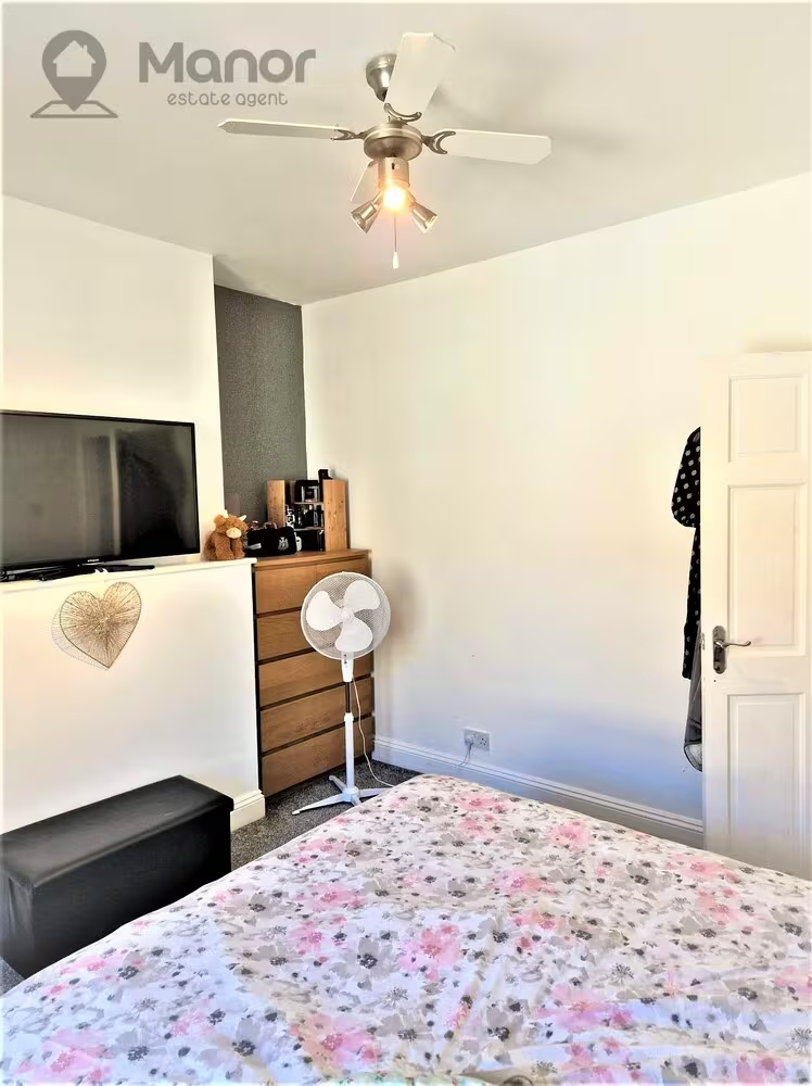
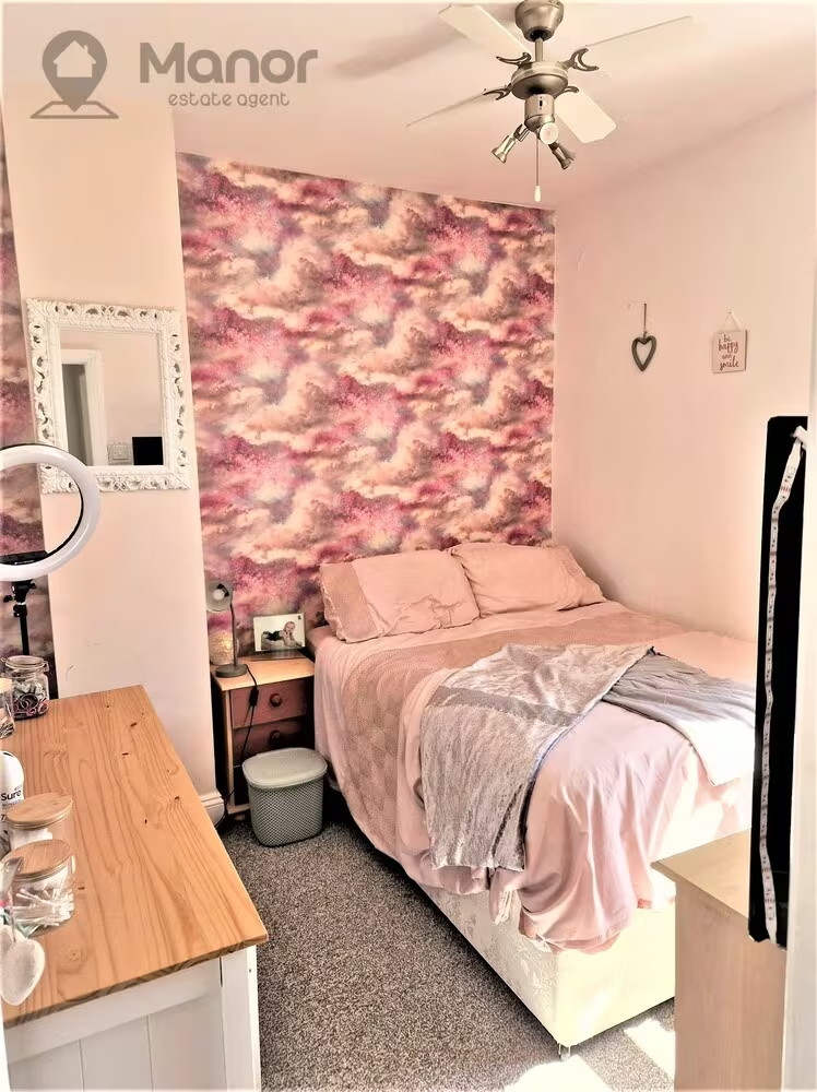
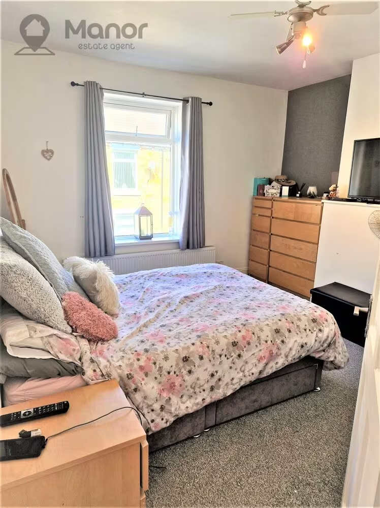
- 2 Double Bedrooms
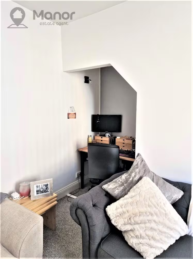
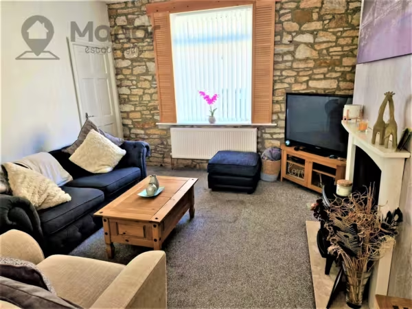
- 1 Reception Rooms
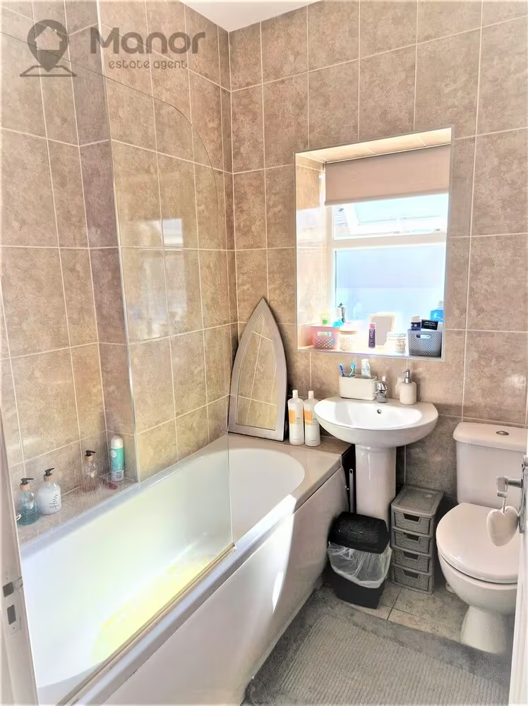
- 1 Bathroom
- Rear Garden
- Gas Central Heating
- Double Glazed
- Close to Public Transport Links and Local Amenities
Summary
Manor Estate Agent are delighted to offer this Spacious Two Bedroom House for Sale in Mary Street, Stanley, County Durham, DH9 7SJDetails
Manor Estate Agent are delighted to offer this Spacious Two Bedroom House for Sale in Mary Street, Stanley, County Durham, DH9 7SJ.
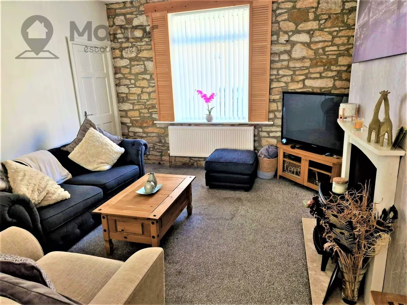
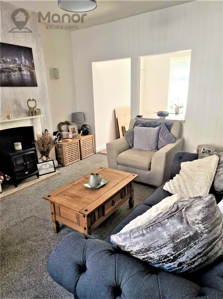
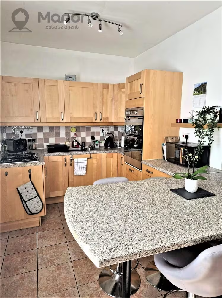
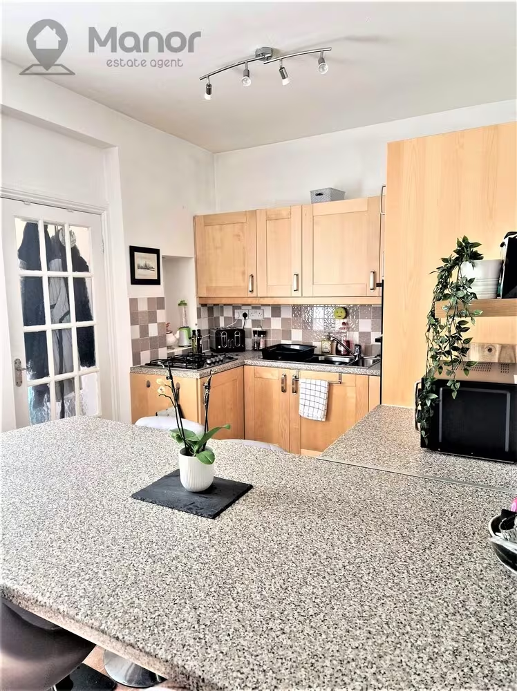
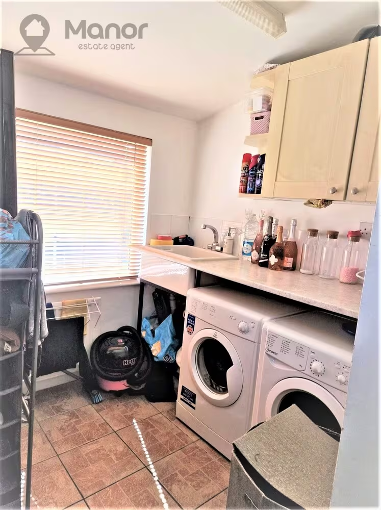
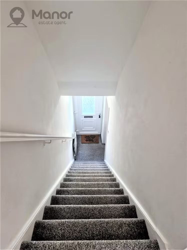
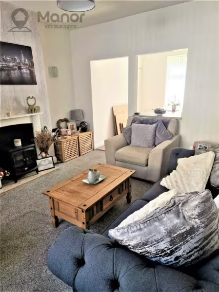
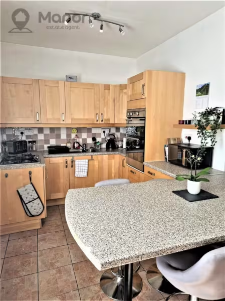
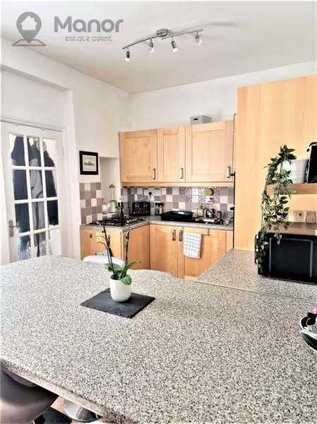
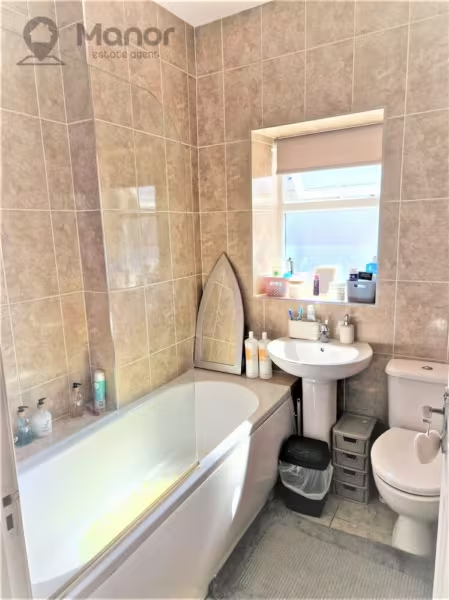
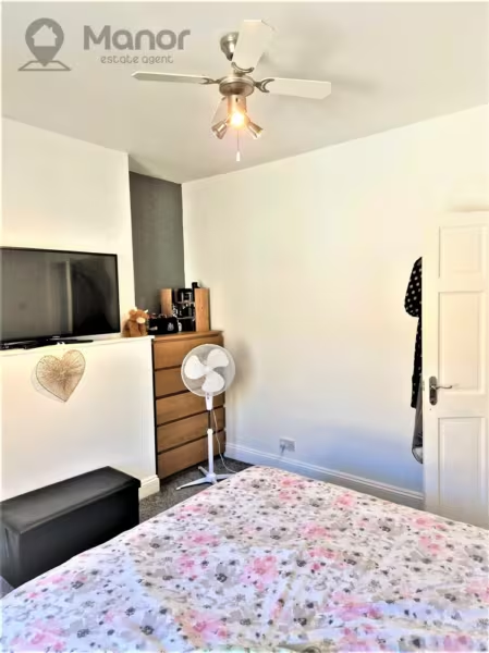
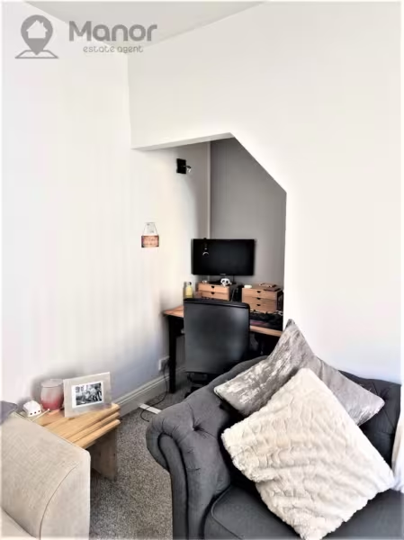
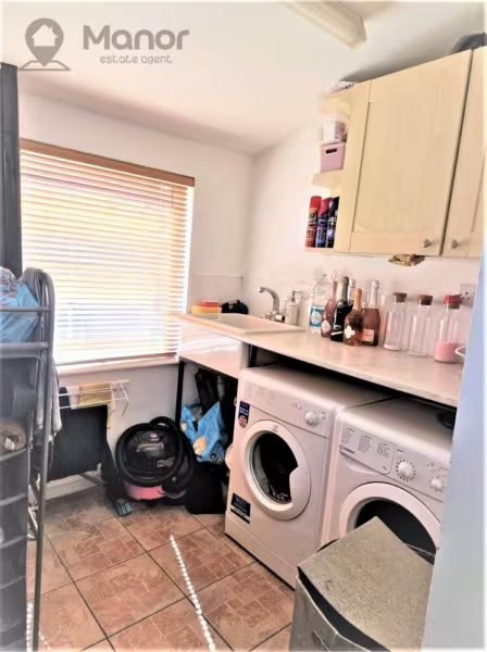
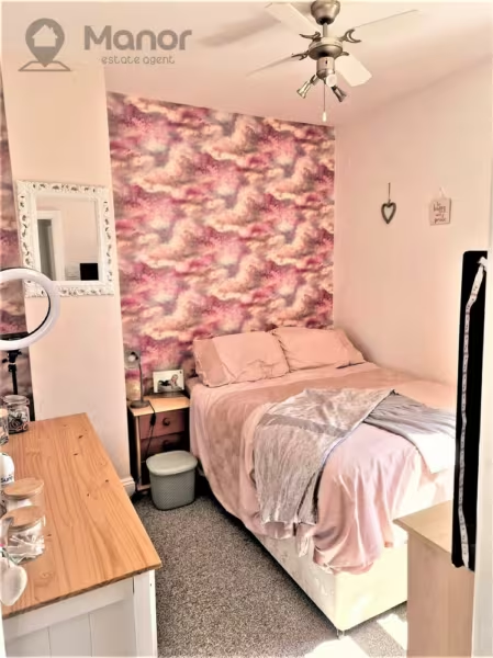
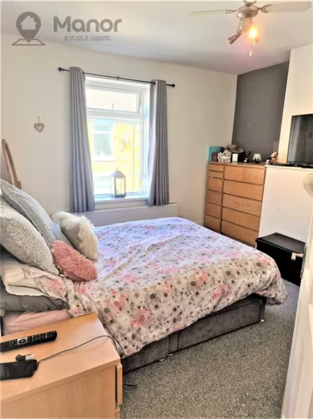
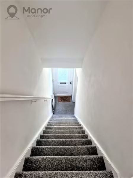
This charming mid-terrace property boasts 2 double bedrooms, 1 reception room, and 1 bathroom, making it the perfect size for a small family or a couple. The house is well maintained and has gas central heating and double glazing throughout, ensuring a comfortable living environment. The rear garden is an additional bonus, providing ample space for outdoor activities and relaxation.
This CHAIN FREE property is located in a popular area and benefits from excellent public transport links and access to local amenities.
Stanley, County Durham is a lovely town with many attractions and activities to offer visitors and residents. The town is situated on the edge of beautiful countryside, making it an excellent location for outdoor enthusiasts who enjoy hiking, cycling, and other outdoor activities. The town is home to the popular Beamish Museum, which is a must-visit attraction.
For those who enjoy shopping, Stanley has a range of stores and independent shops offering everything from high street brands to local produce. The town's market is also a popular destination that dates back to the 1800s.
There's also the opportunity to experience Stanley's rich culture and history by visiting the 14th-century castle, which is now a ruin but still an impressive sight. Overall, Stanley is a lovely town, and this Terraced House for sale represents an excellent opportunity for an investor seeking to benefit from the town's growing popularity.
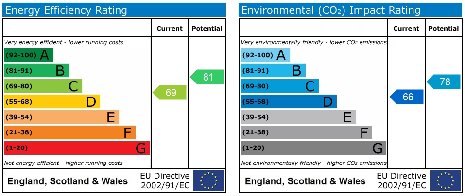
EPC Rating: C
Council Tax Band: A
For more information or to arrange a viewing please call us.
The information provided about this property does not constitute or form part of an offer or contract, nor may be it be regarded as representations. All interested parties must verify accuracy and your solicitor must verify tenure/lease information, fixtures & fittings and, where the property has been extended/converted, planning/building regulation consents. All dimensions are approximate and quoted for guidance only as are floor plans which are not to scale and their accuracy cannot be confirmed. Reference to appliances and/or services does not imply that they are necessarily in working order or fit for the purpose.
EPC
Nearest Local Schools & Transport Links
| School Name | Age | Distance | |
|---|---|---|---|
| Annfield Plain Junior School | 7-11 | 0.1 mi | |
| Annfield Plain Infant School | 3-7 | 0.2 mi | |
| Catchgate Primary School | 2-11 | 0.6 mi | |
| Croft Community School | 4-16 | 0.9 mi | |
| Oxhill Nursery School | 2-4 | 1.1 mi | |
| Greenland Community Primary School | 4-11 | 1.2 mi | |
| South Stanley Junior School | 7-11 | 1.5 mi | |
| South Stanley Infant and Nursery School | 2-7 | 1.5 mi | |
| St Patrick's Catholic Primary School, Dipton | 3-11 | 1.5 mi | |
| St Mary's Catholic Primary School, South Moor | 4-11 | 1.5 mi |
| Station Name | Distance | |
|---|---|---|
| Chester-le-Street Rail Station | 6.2 mi | |
| Dunston Rail Station | 7.3 mi | |
| Metrocentre Rail Station | 7.5 mi | |
| Blaydon Rail Station | 7.5 mi | |
| Durham Rail Station | 8.1 mi | |
| Wylam Rail Station | 8.7 mi | |
| Gateshead (Tyne and Wear Metro Station) | 8.8 mi | |
| Newcastle Rail Station | 8.9 mi | |
| Central Station (Tyne and Wear Metro Station) | 9.0 mi | |
| Gateshead Stadium (Tyne and Wear Metro Station) | 9.0 mi |
| Bus Stop Name | Distance | |
|---|---|---|
| NW-bound - Durham Road | 0.1 mi | |
| SE-bound - Durham Road | 0.1 mi | |
| SE-bound - Tesco | 0.1 mi | |
| NE-bound - South View - Watsons Garage | 0.1 mi | |
| SW-bound - South View - Watsons Garage | 0.2 mi | |
| SE-bound - Front Street | 0.2 mi | |
| NW-Bound - Front Street | 0.2 mi | |
| S-bound - Durham Road End | 0.2 mi | |
| N-bound - Durham Road End | 0.2 mi | |
| W-bound - Tesco | 0.2 mi |
| Airport Name | Distance | |
|---|---|---|
| Newcastle International Airport | 12.4 mi | |
| Durham Tees Valley Airport | 26.8 mi | |
| Leeds Bradford International Airport | 68.5 mi | |
| Blackpool International Airport | 91.5 mi | |
| Edinburgh Airport | 99.0 mi | |
| Robin Hood Doncaster Sheffield Airport | 99.6 mi | |
| Humberside Airport | 104.5 mi | |
| Manchester Airport | 105.8 mi | |
| Liverpool John Lennon Airport | 114.6 mi | |
| Dundee City Airport | 121.2 mi |